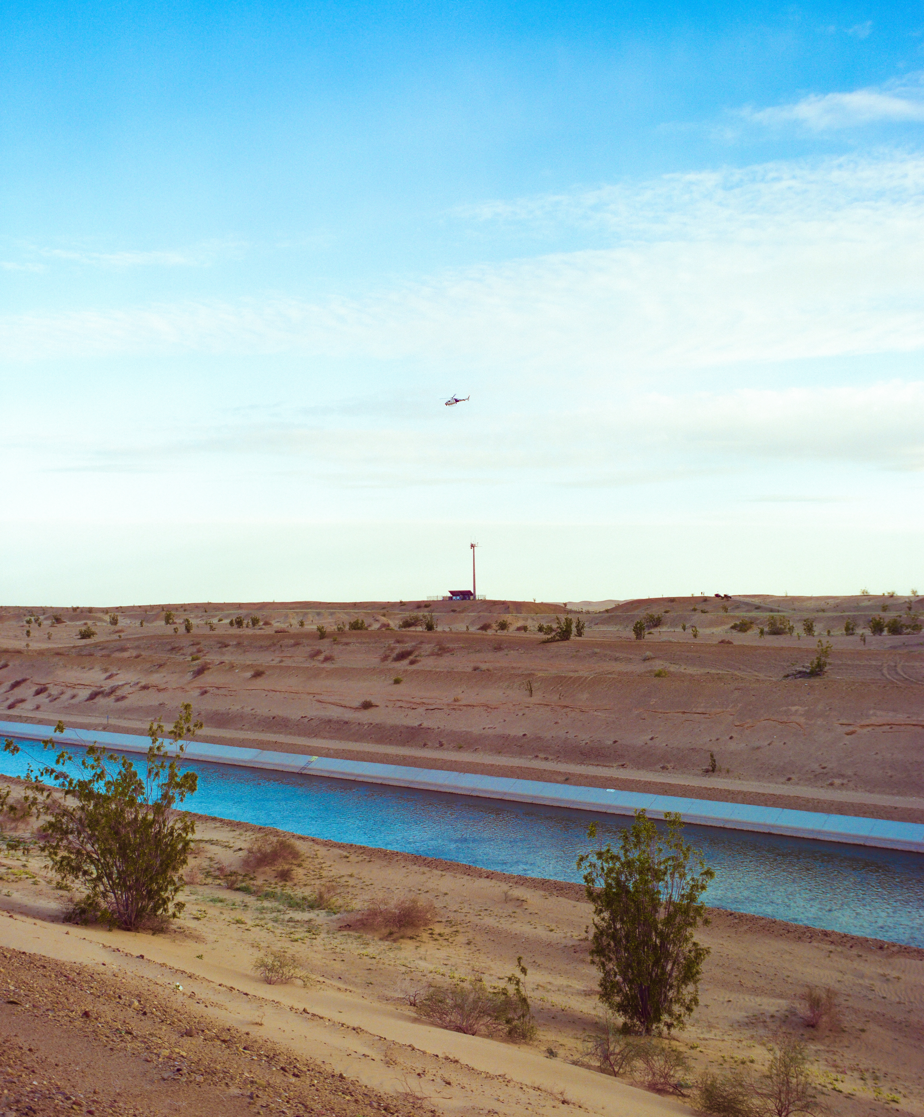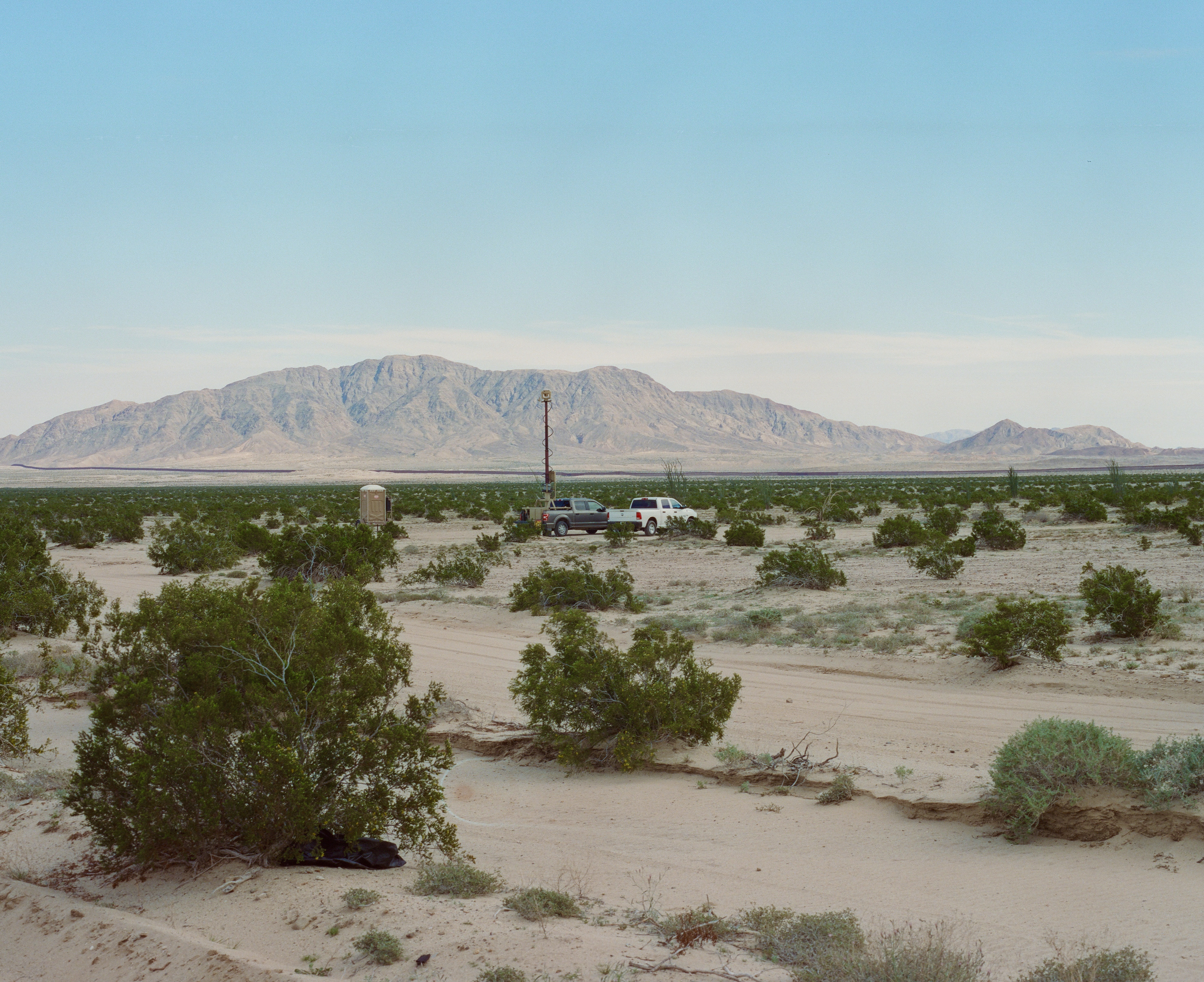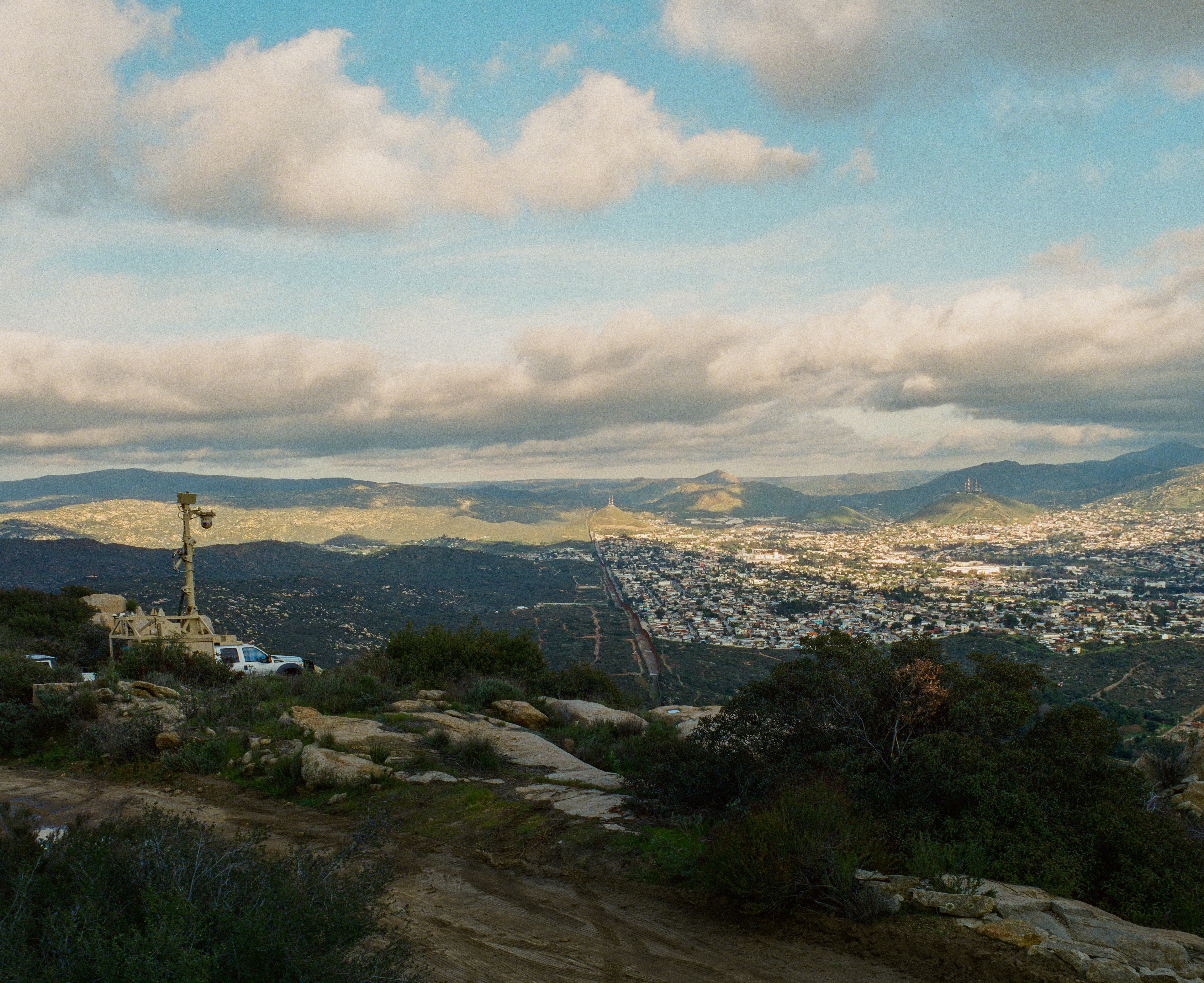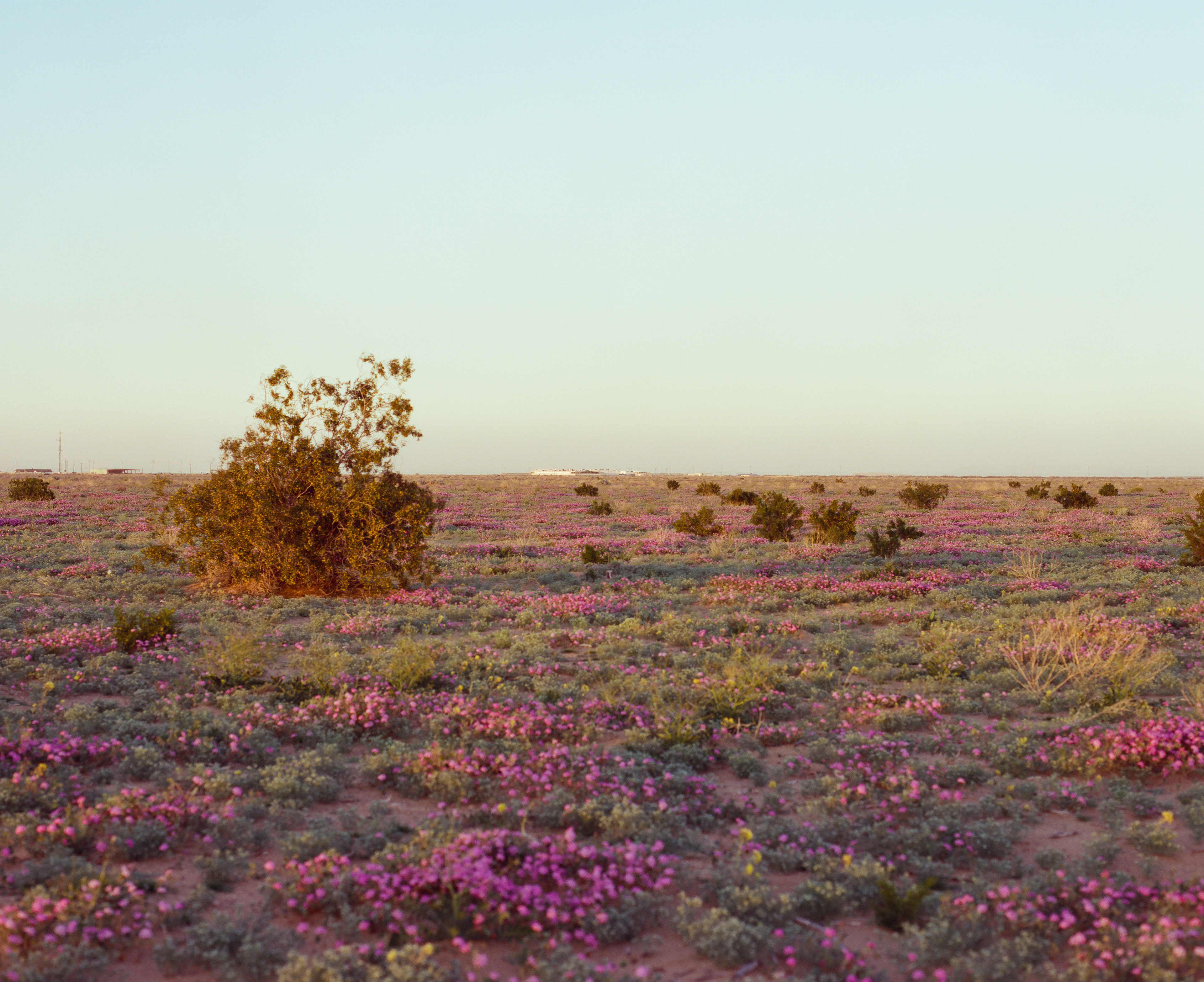
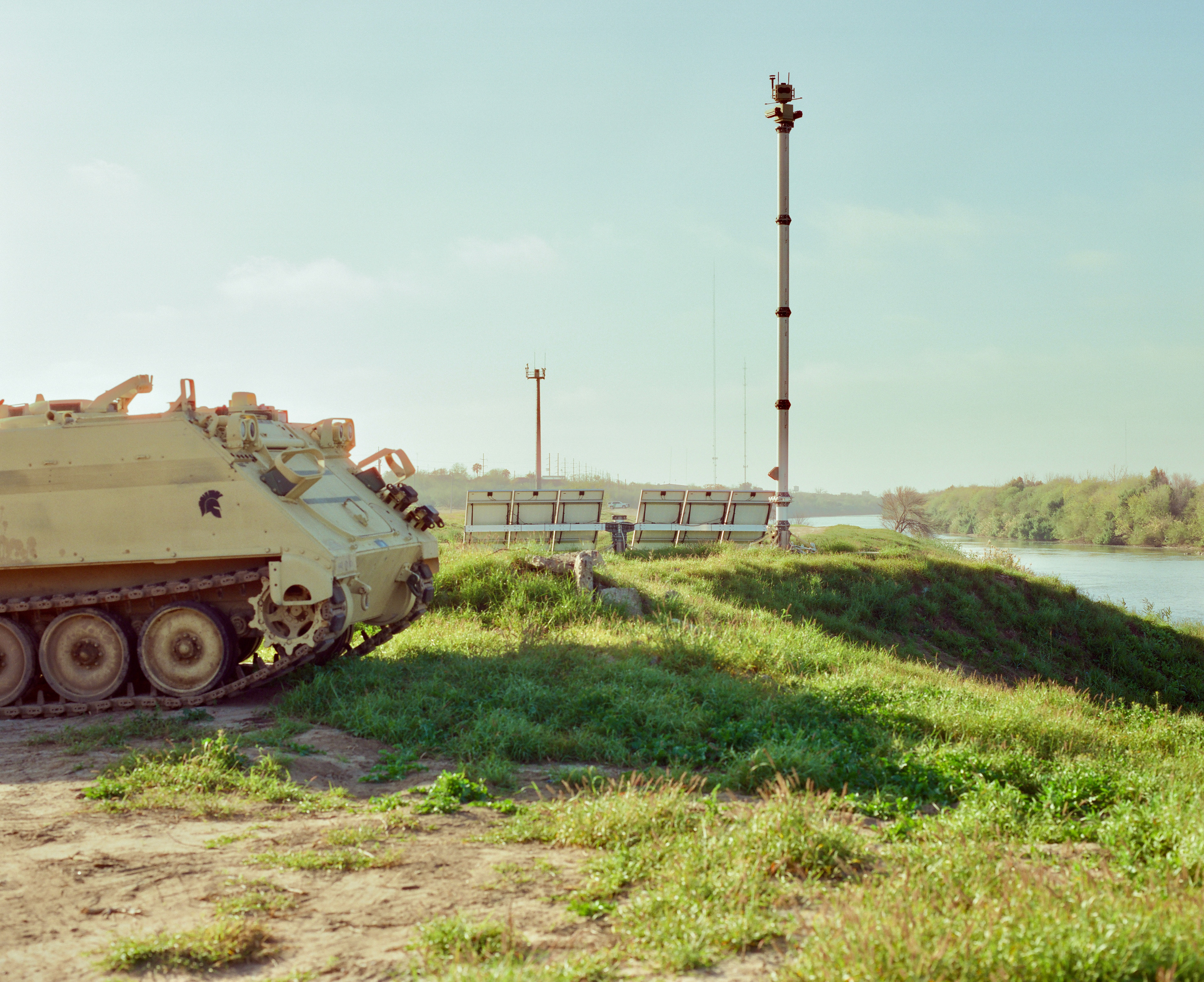
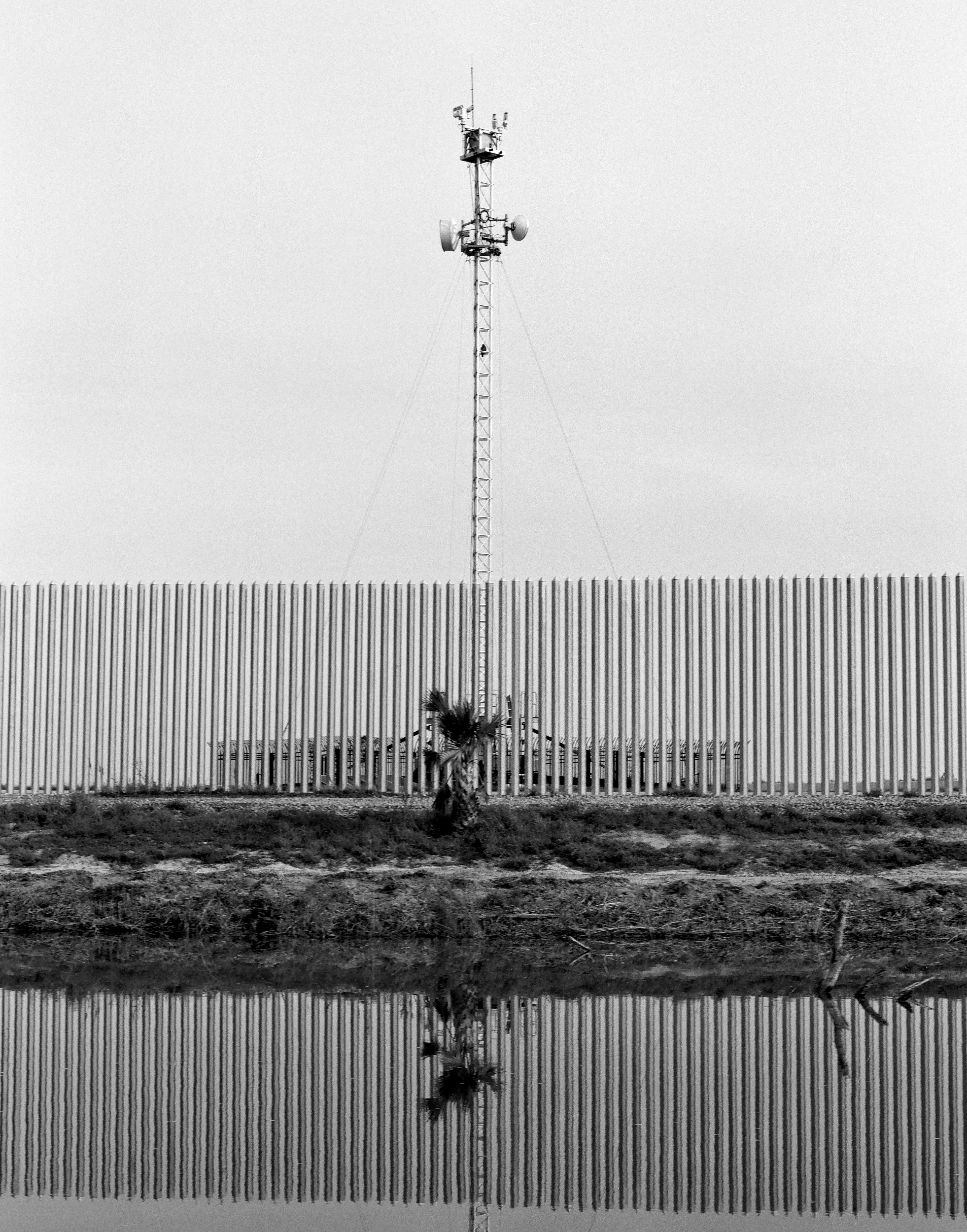
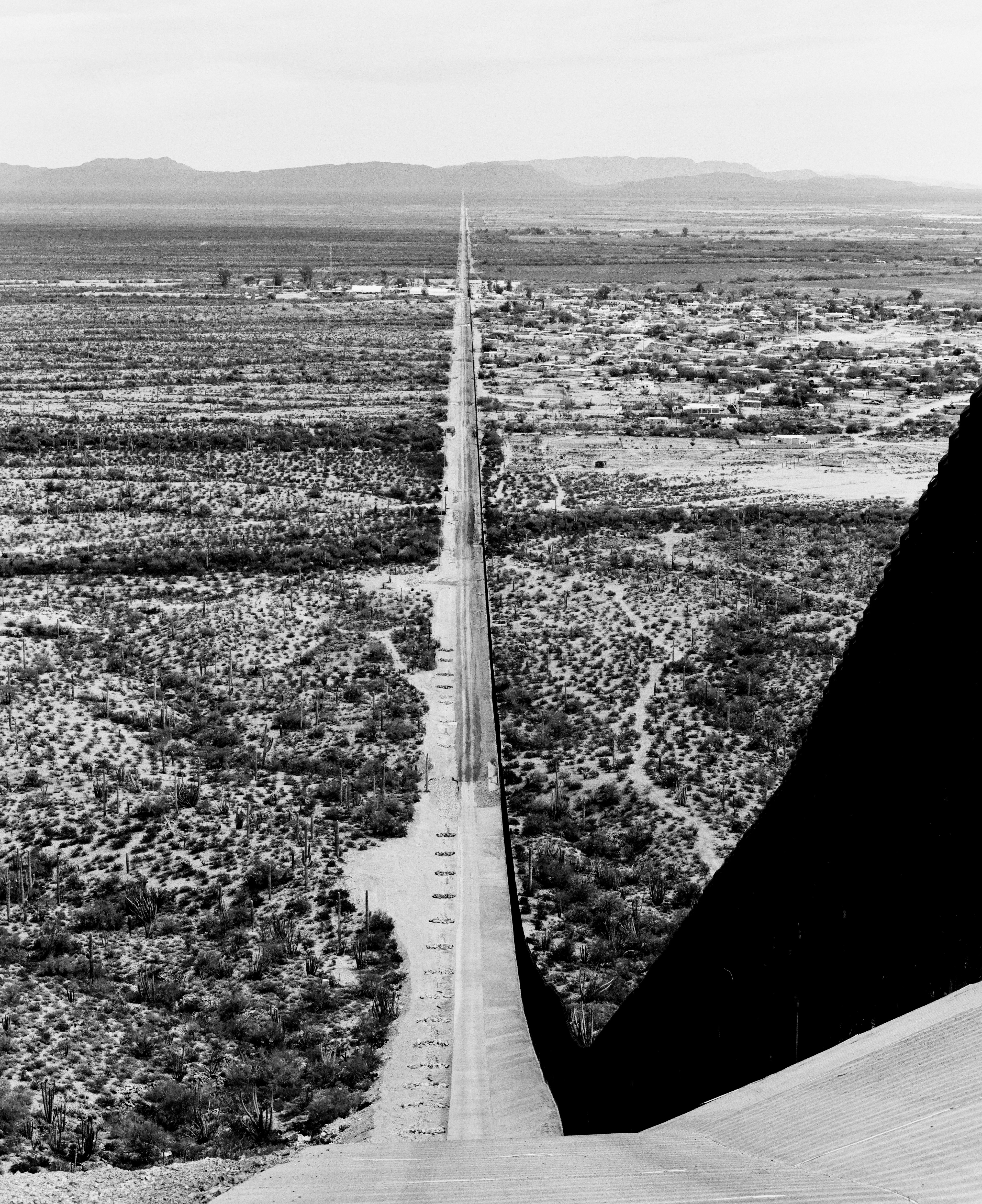
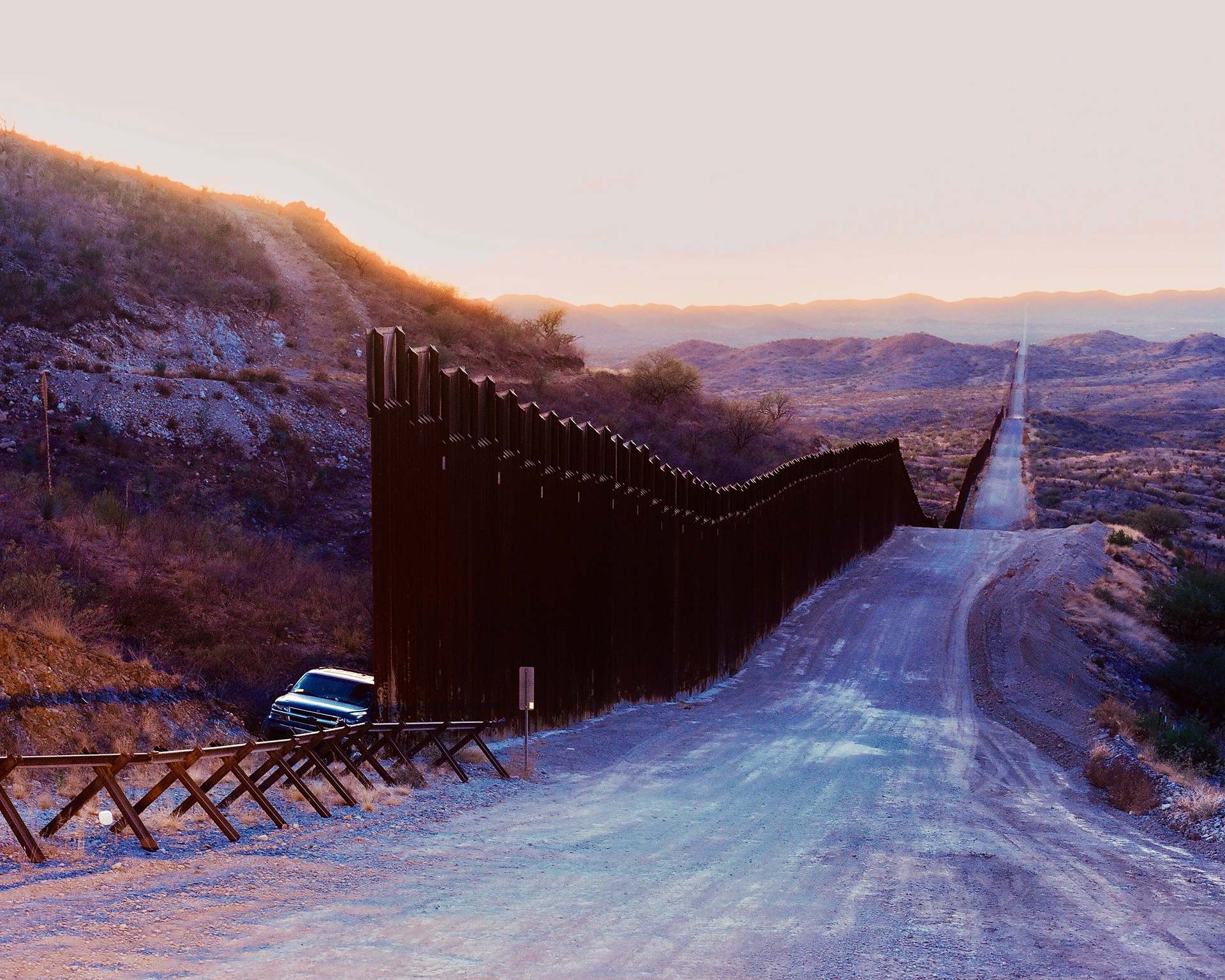
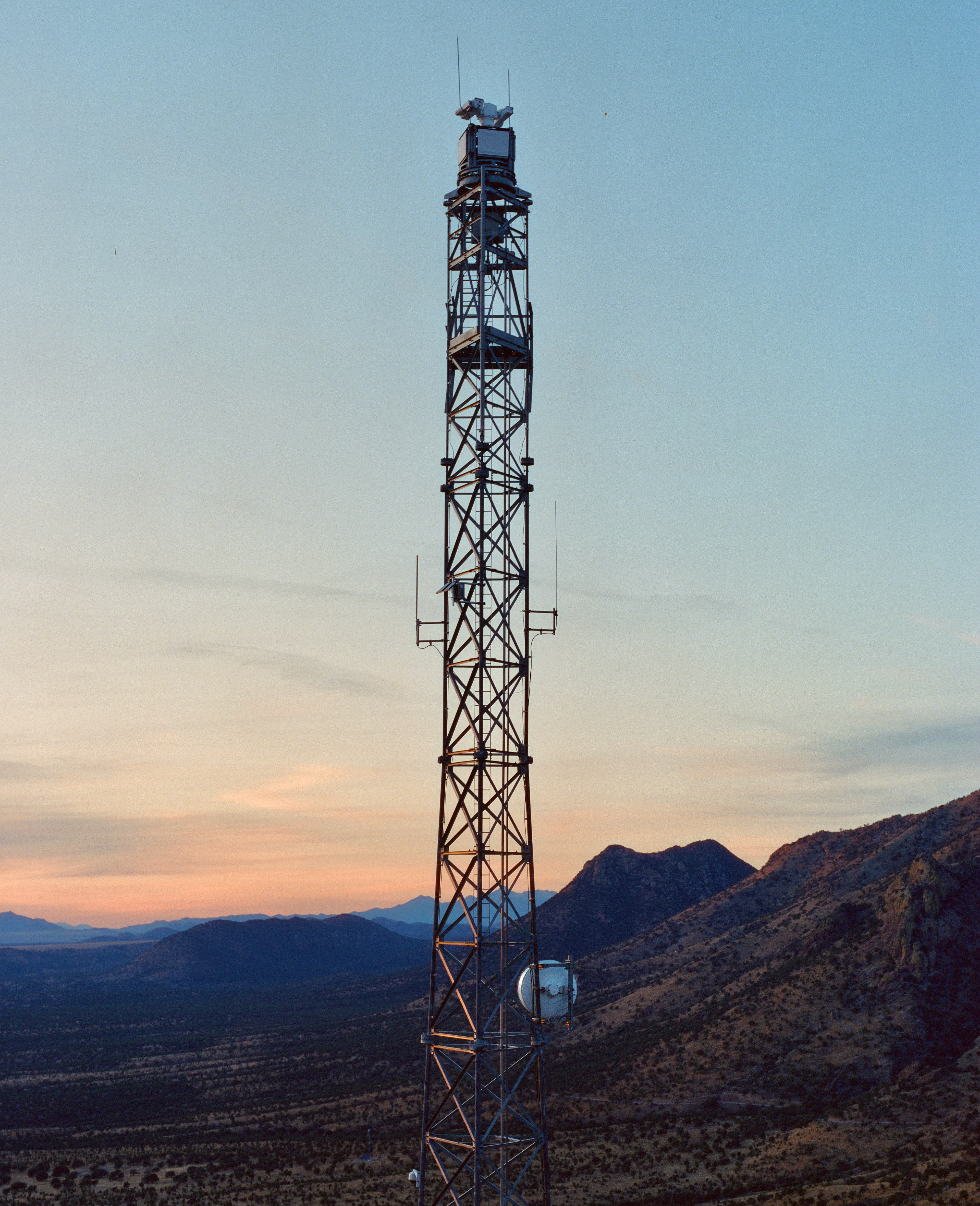
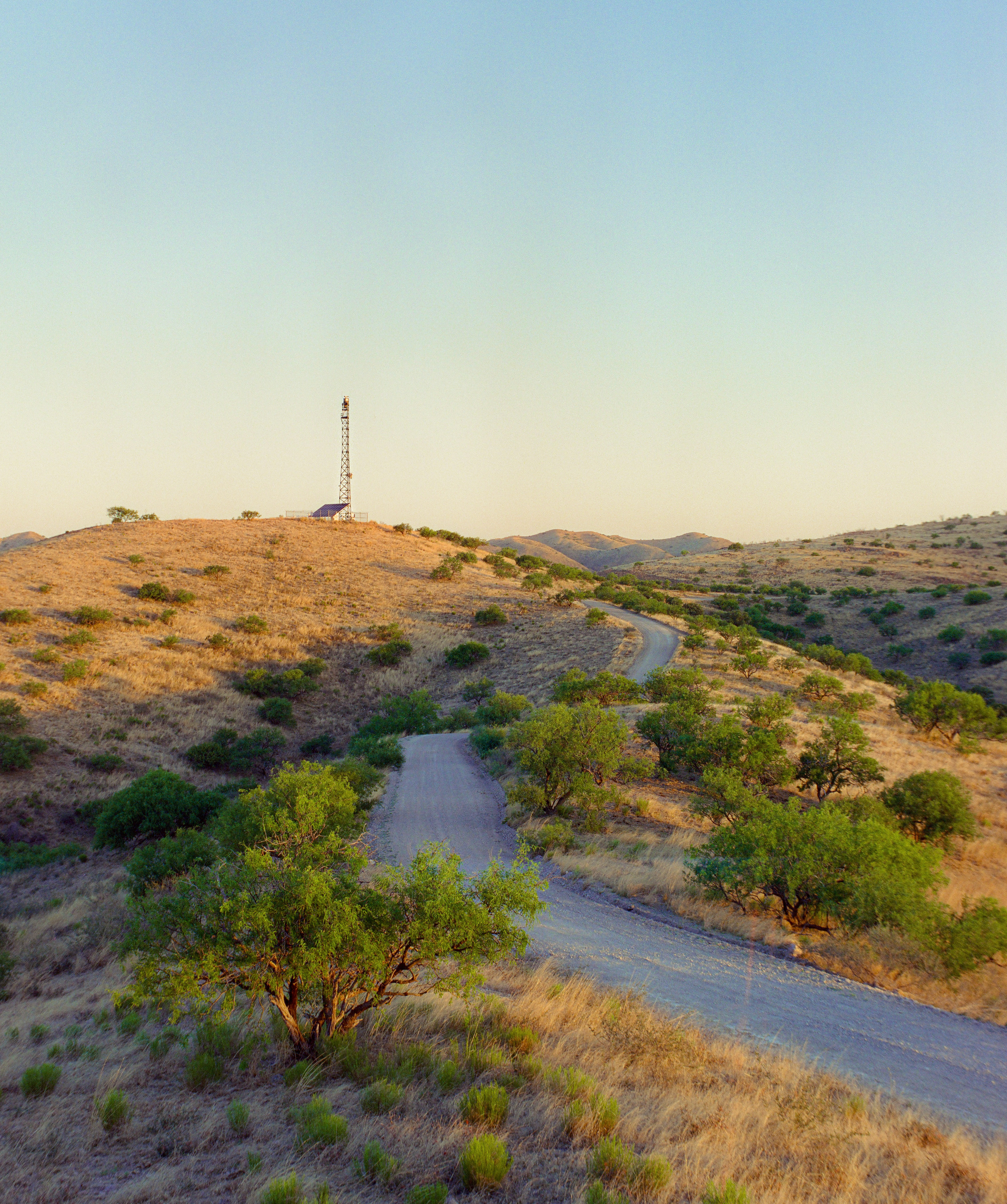
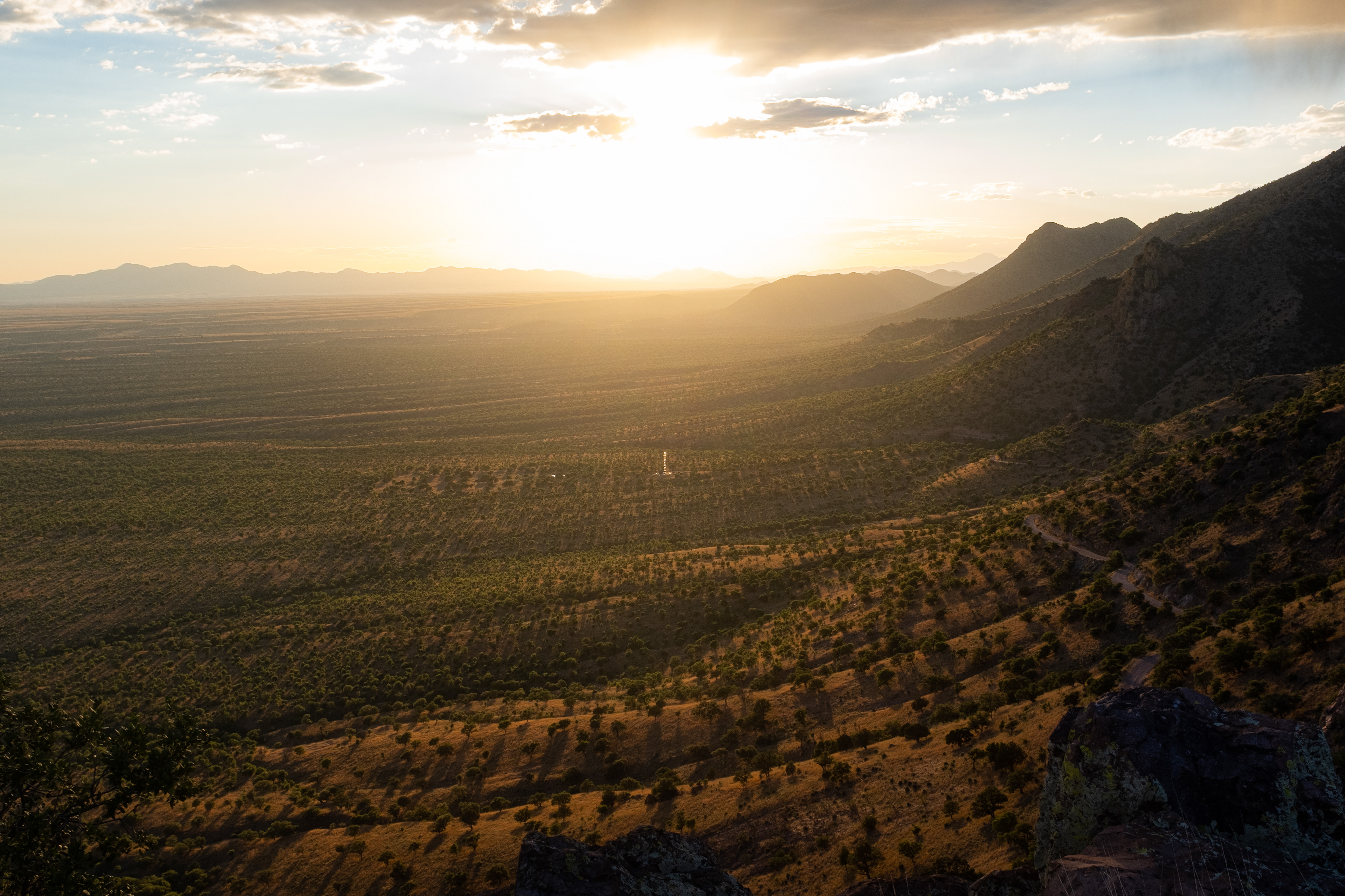
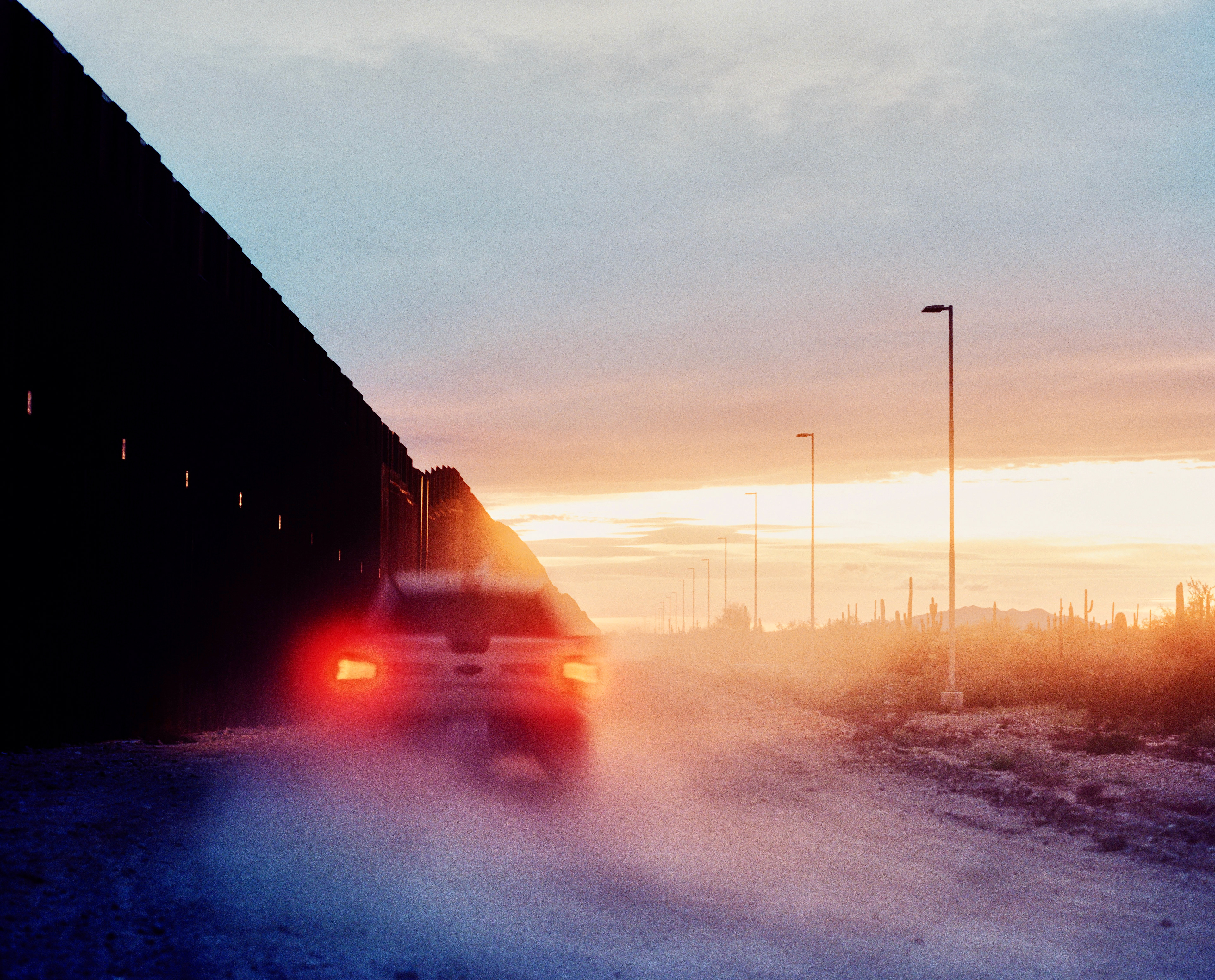
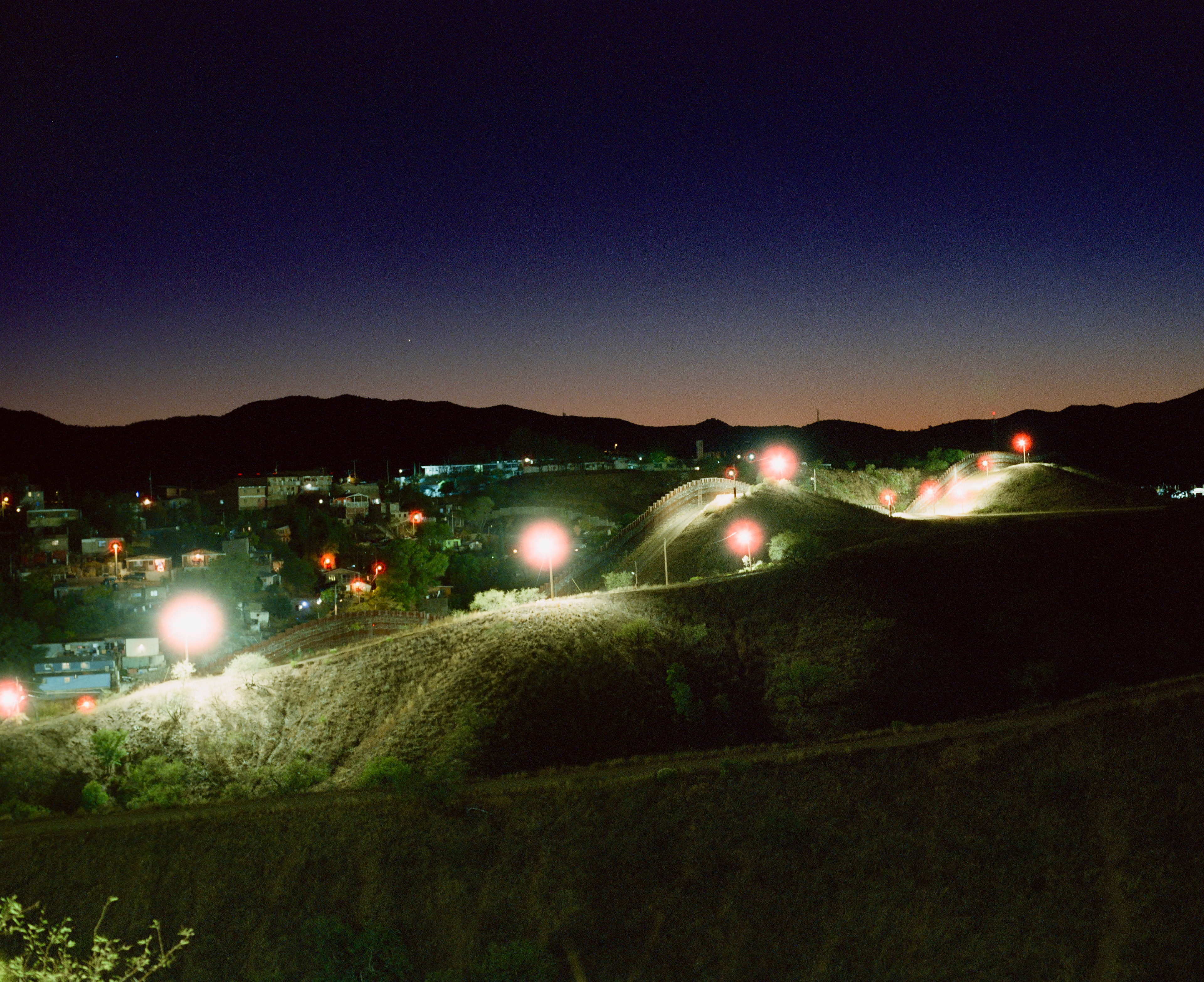
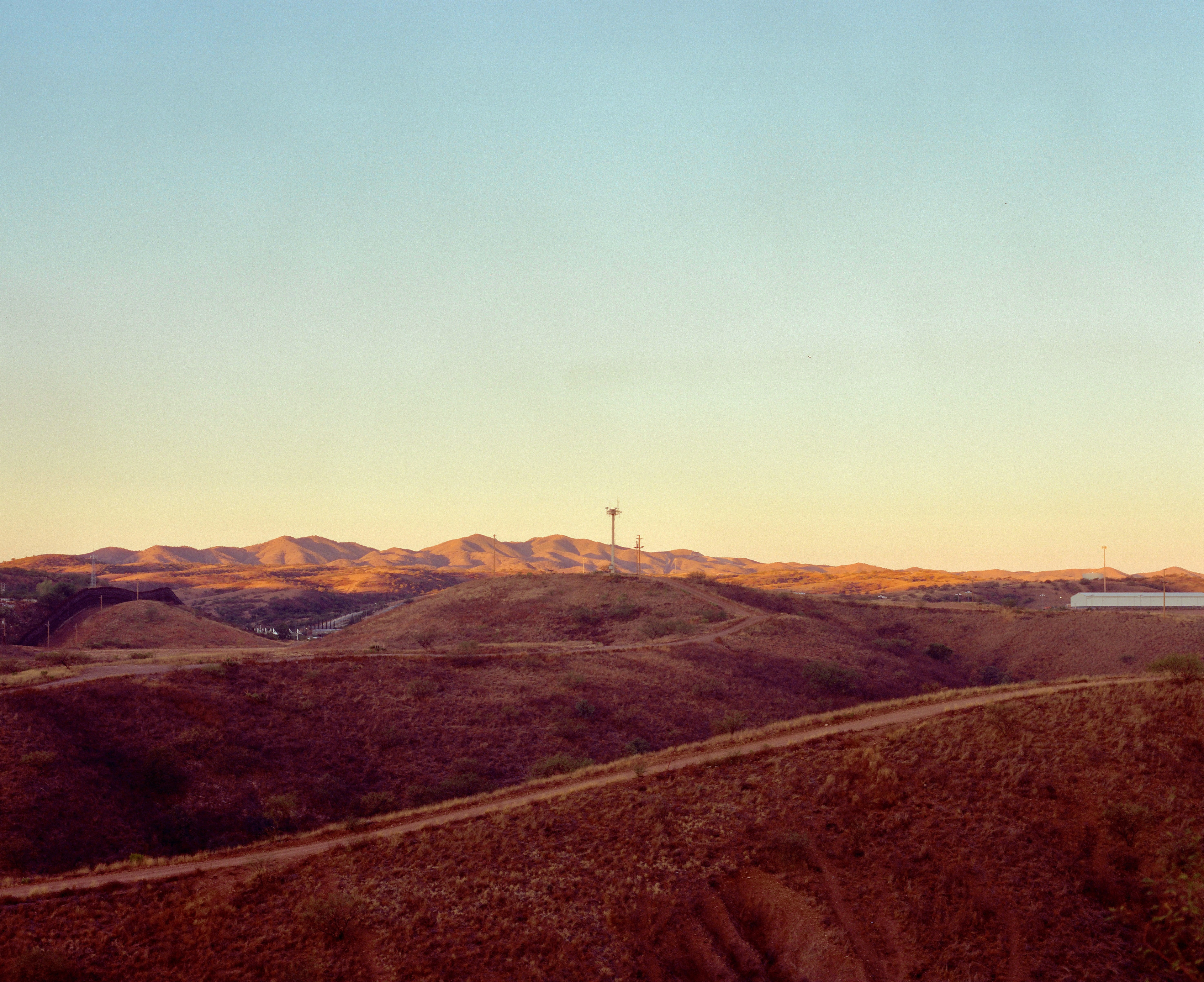
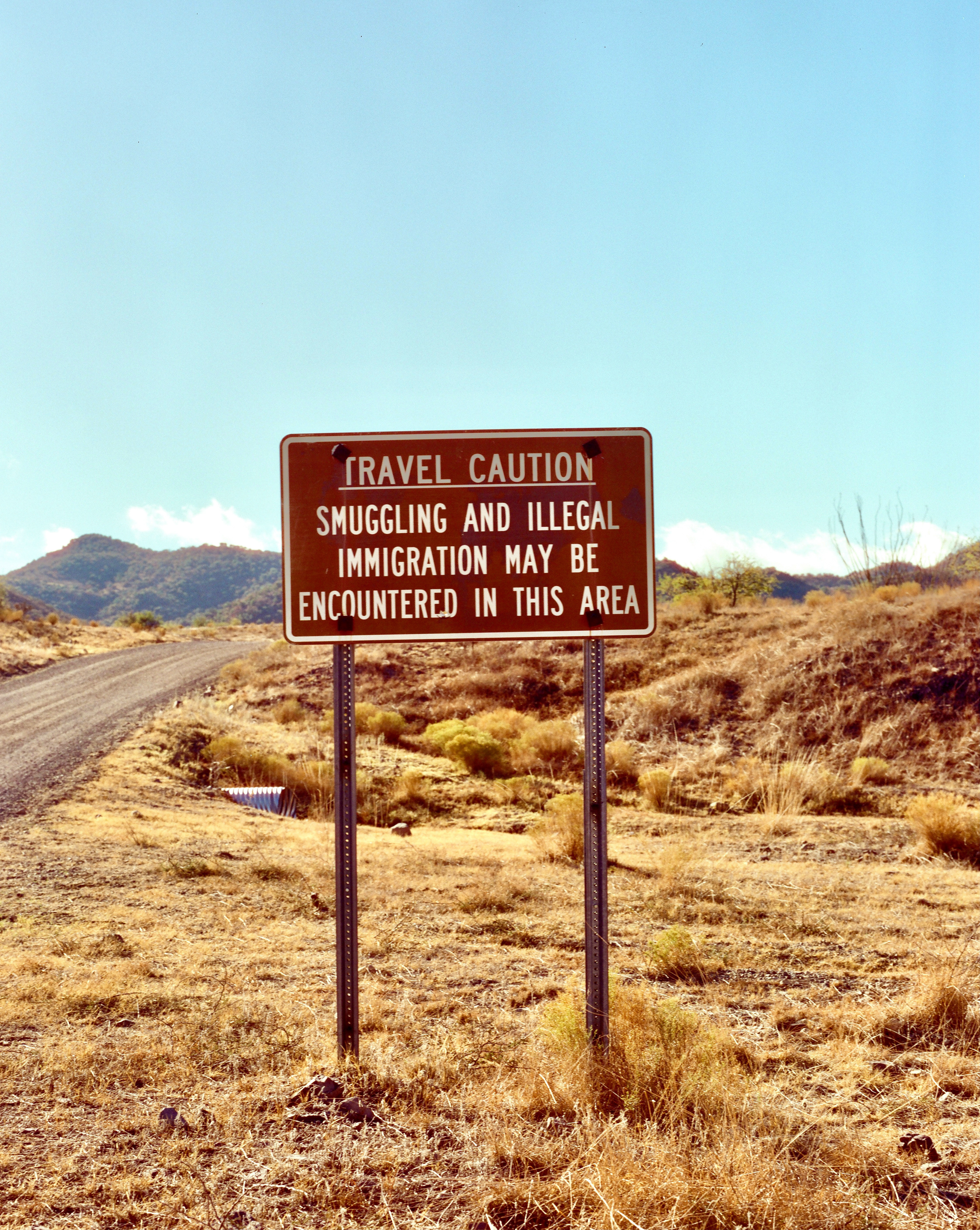
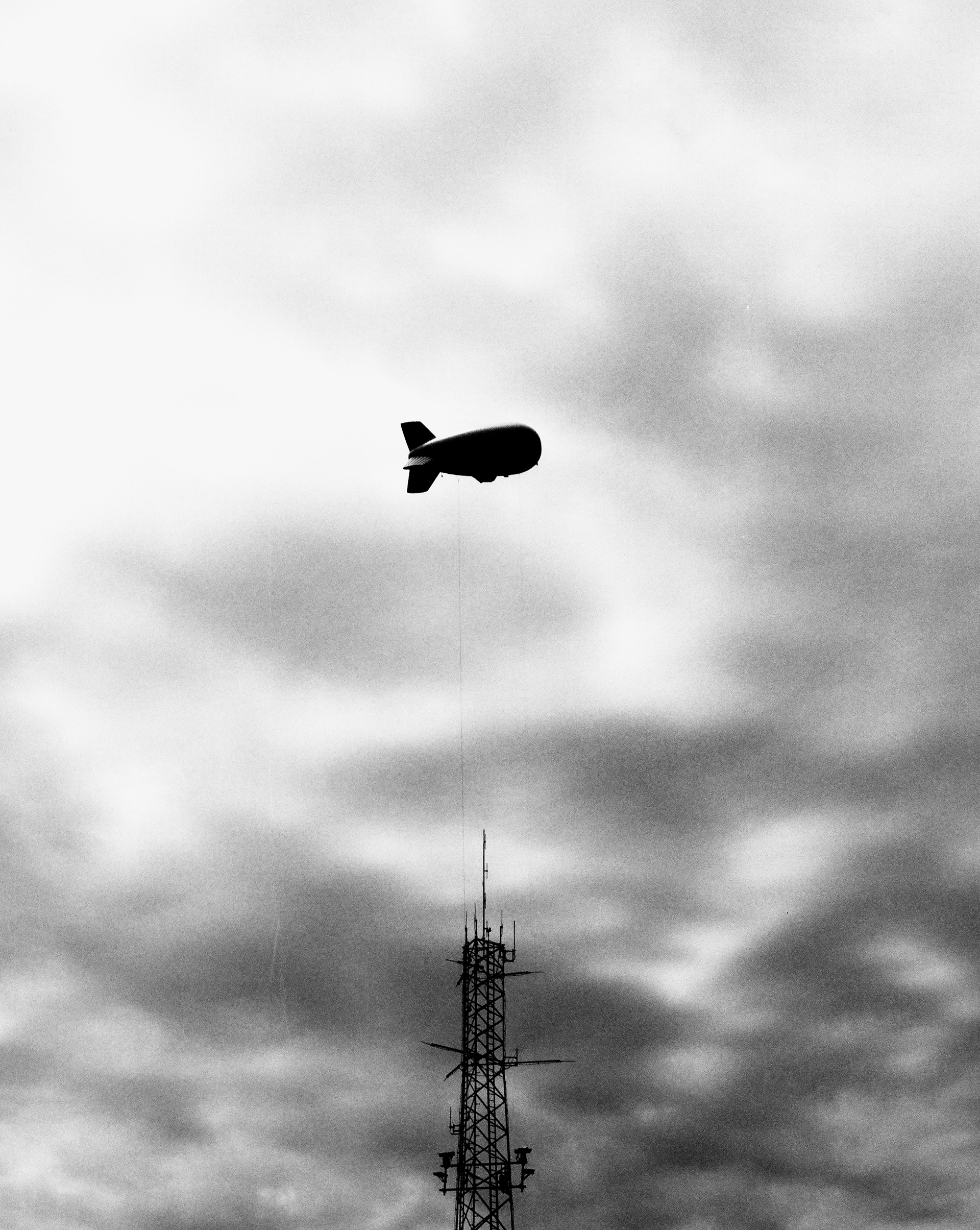
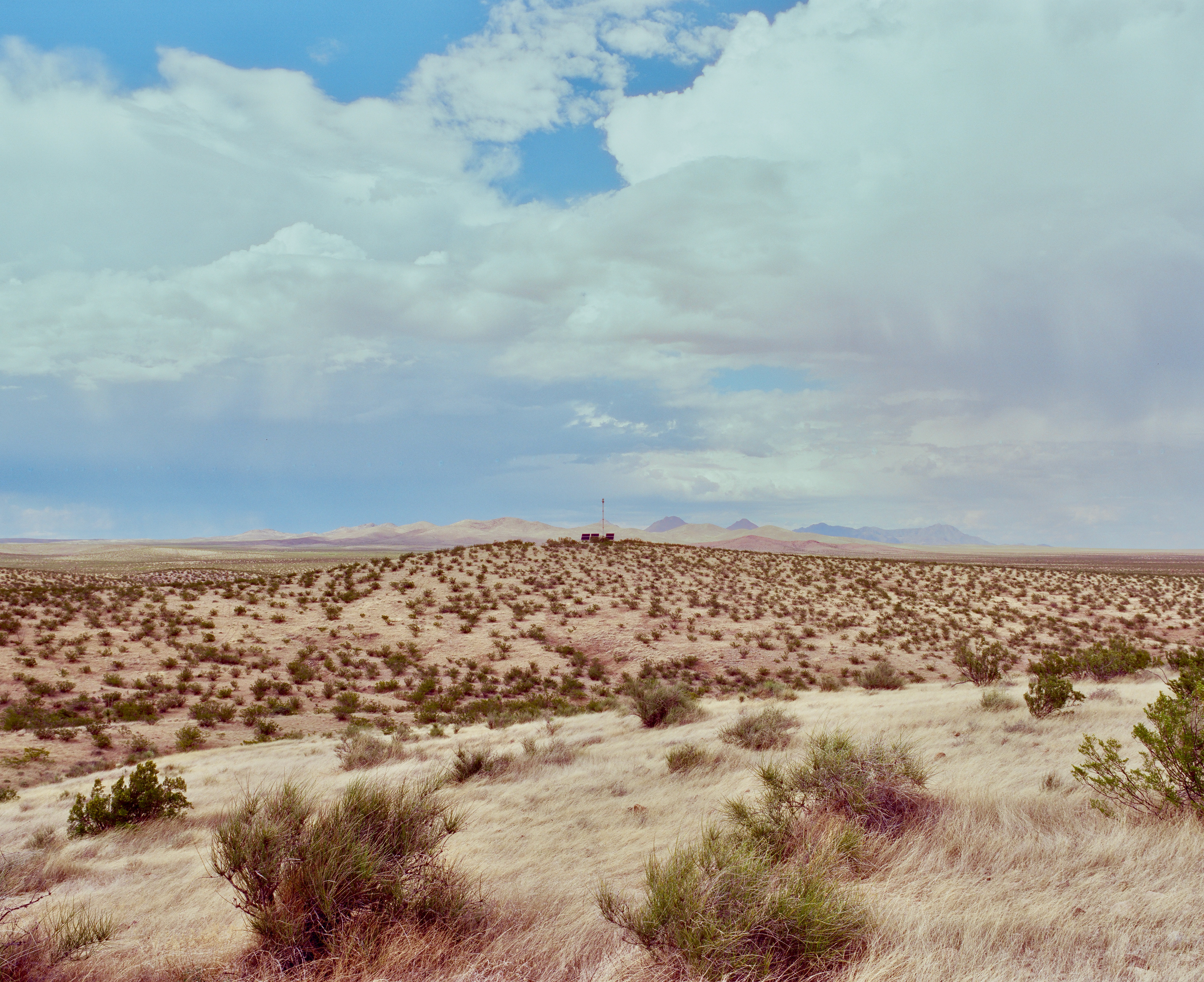
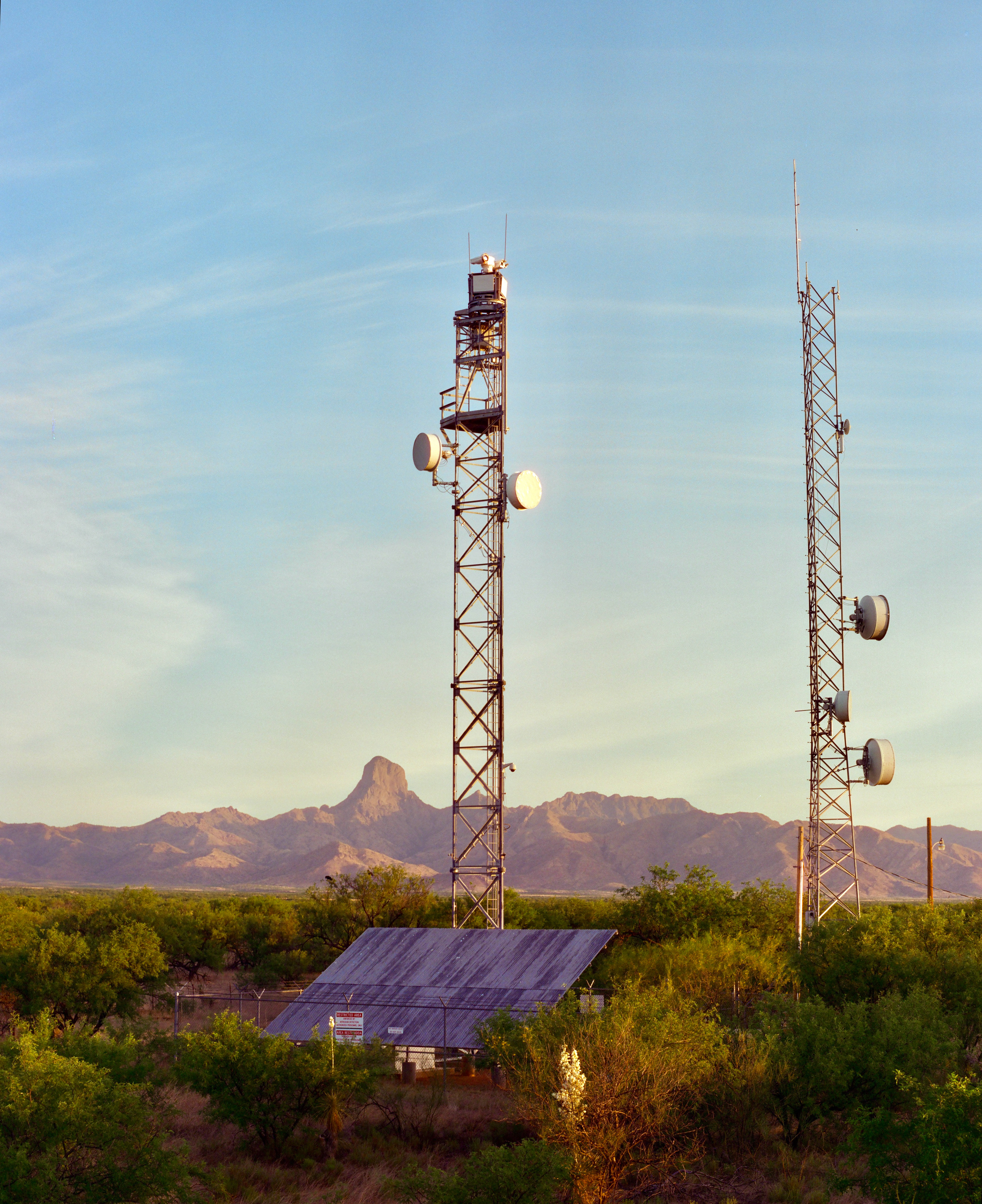
Infrastructures of Control, a collaboration with Dugan Meyer, aims to create a visual archive of security and surveillance infrastructure in the U.S. borderlands. Guided by the Electronic Frontier Foundation's (EFF) map of border surveillance towers, we are working to document and map the current moment of U.S. border security along the entire length of the U.S.-Mexico border. More information can be found on the dedicated project website.
Our work is supported by the Confluencenter for Creative Inquiry at the University of Arizona and the Mellon Foundation, as well as the W.A Franke Honors College.
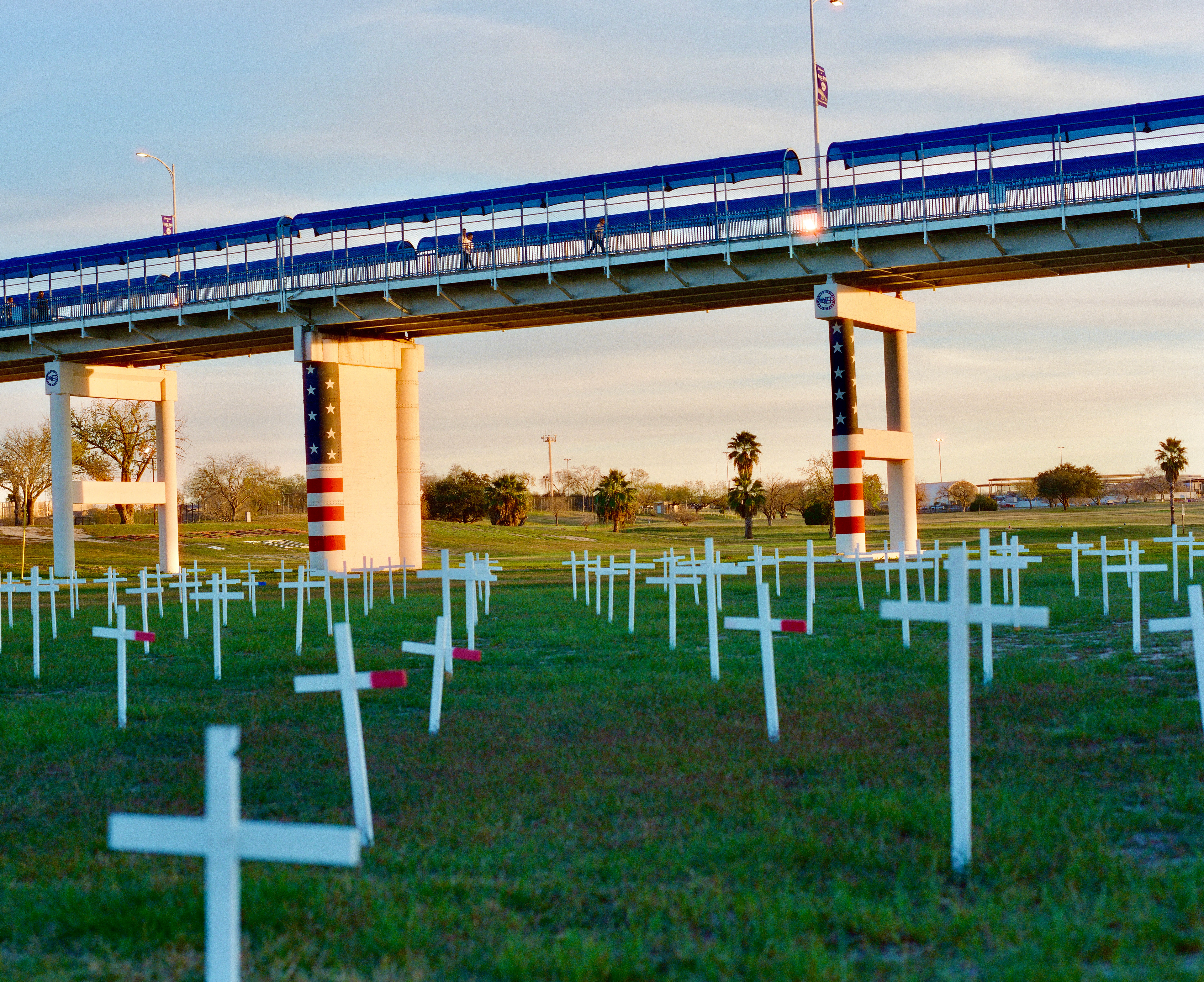
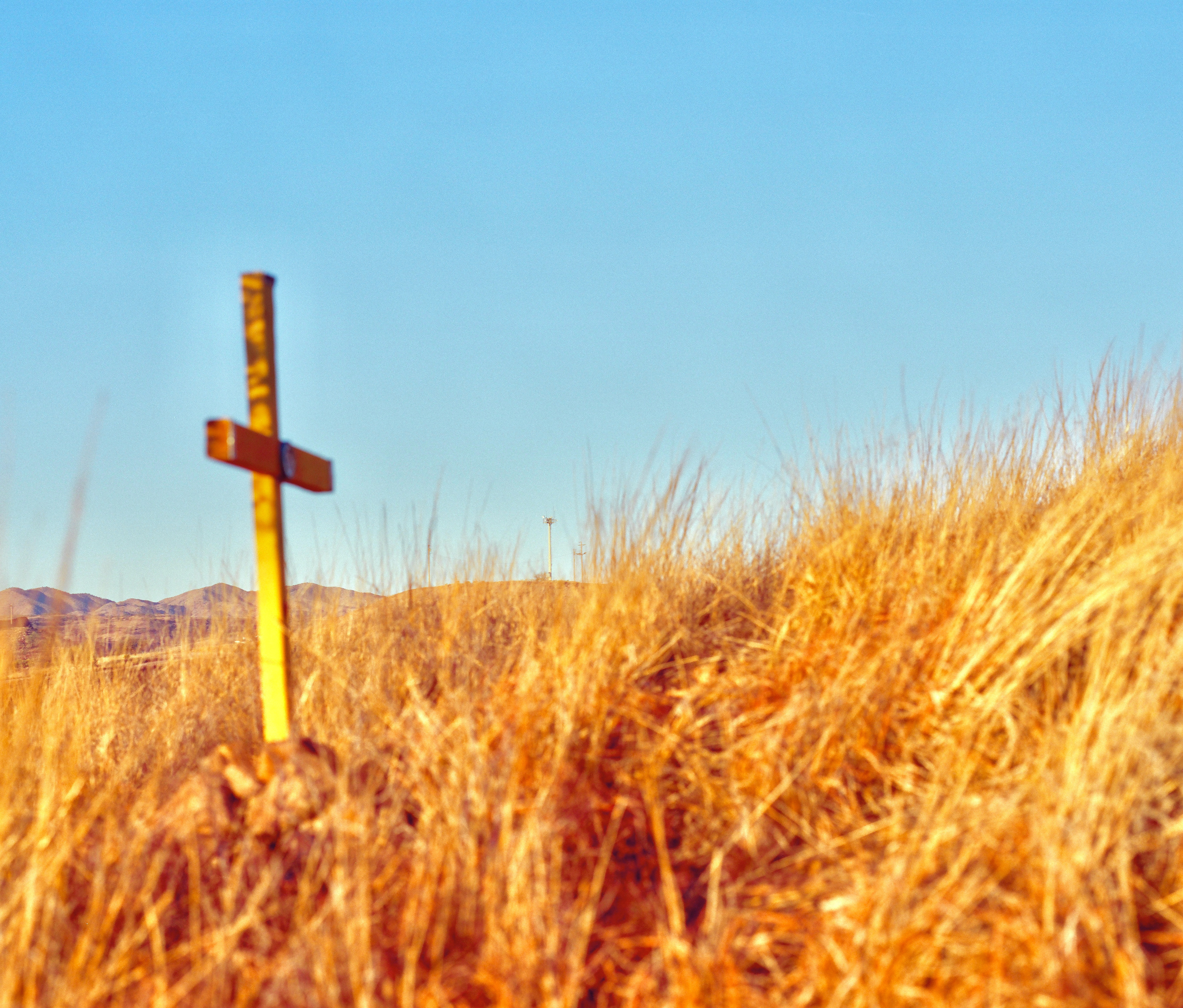
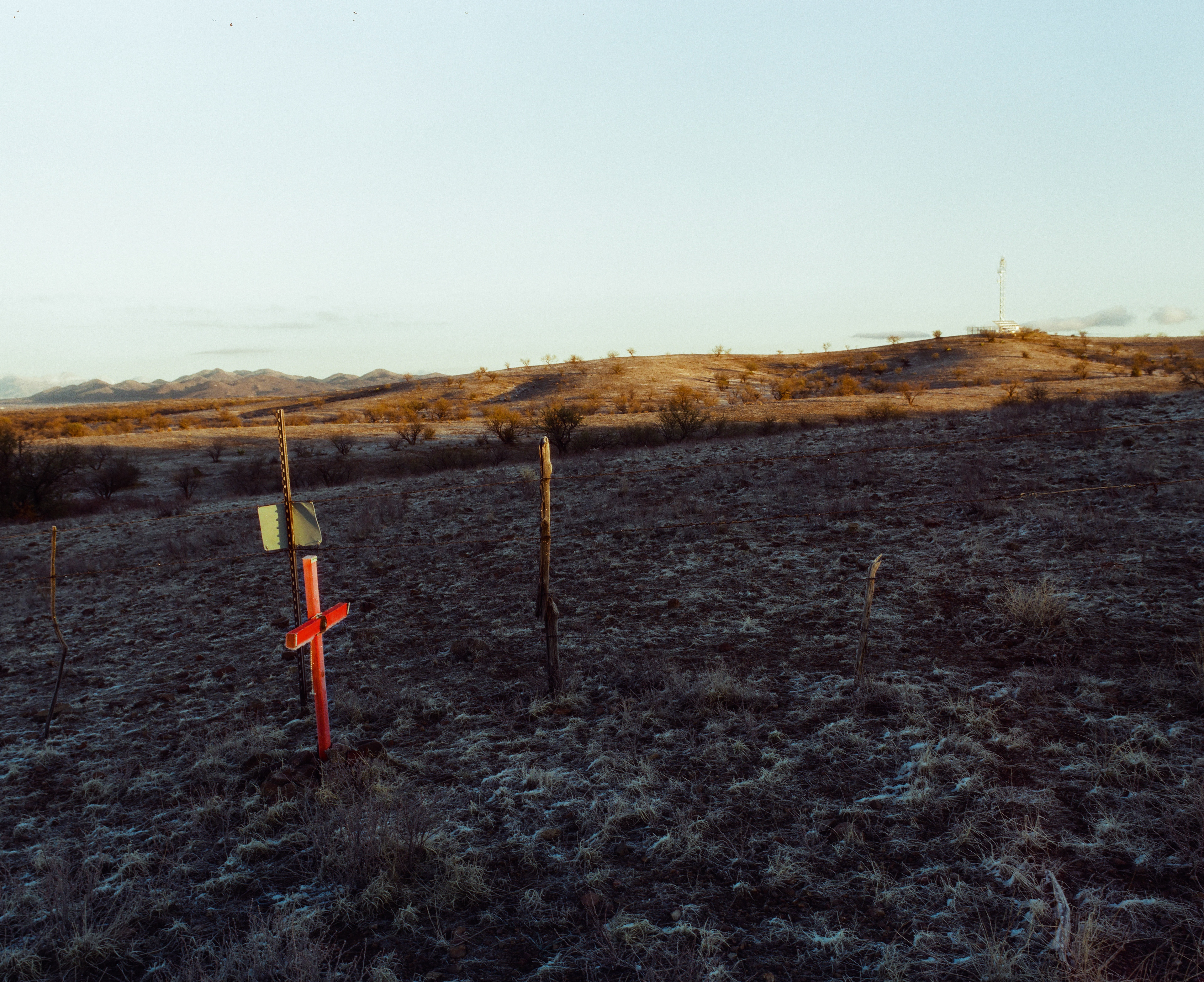
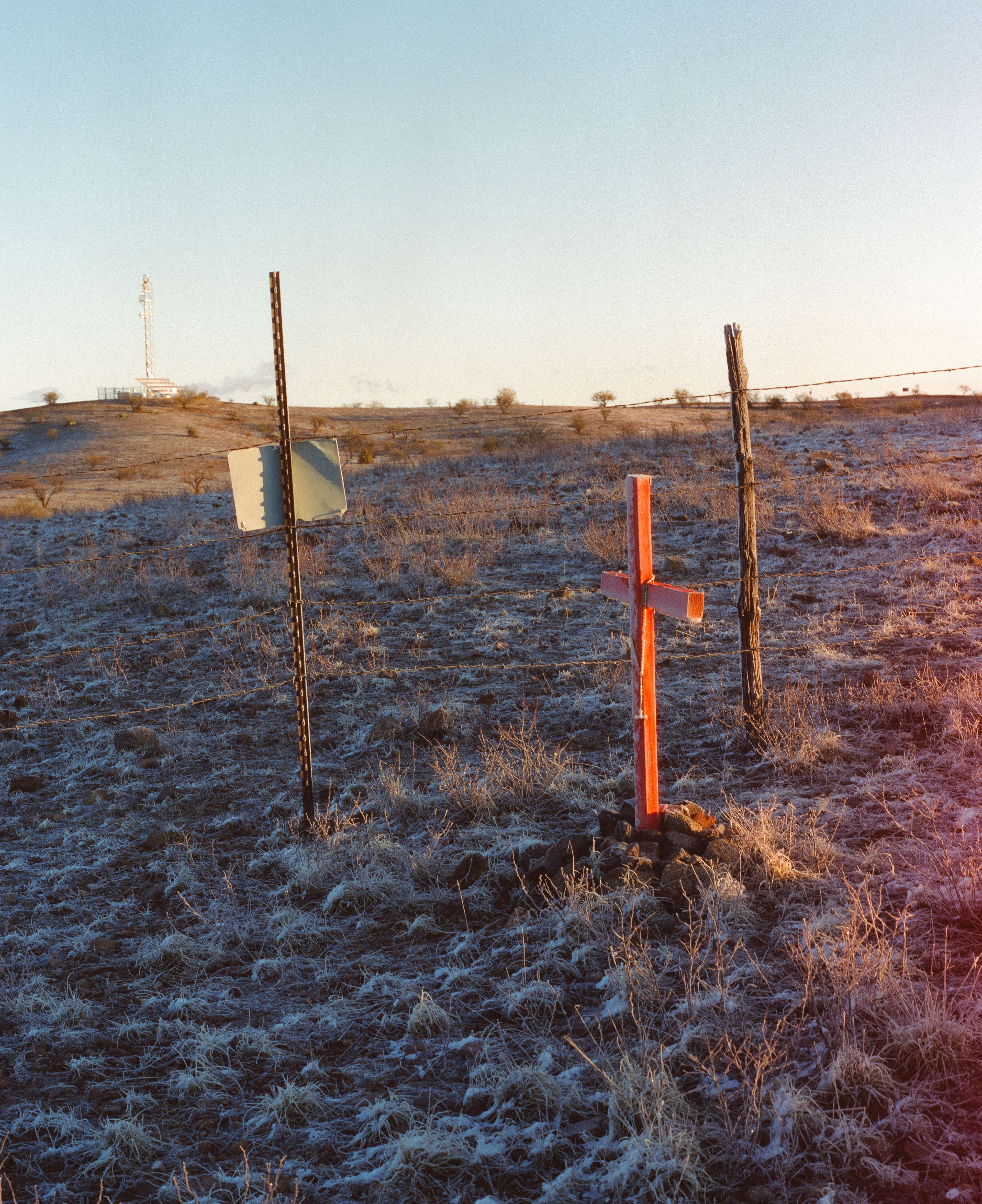
A cross marks the location where the body of Javier Mendoza was discovered. Cause of death: exposure to the elements
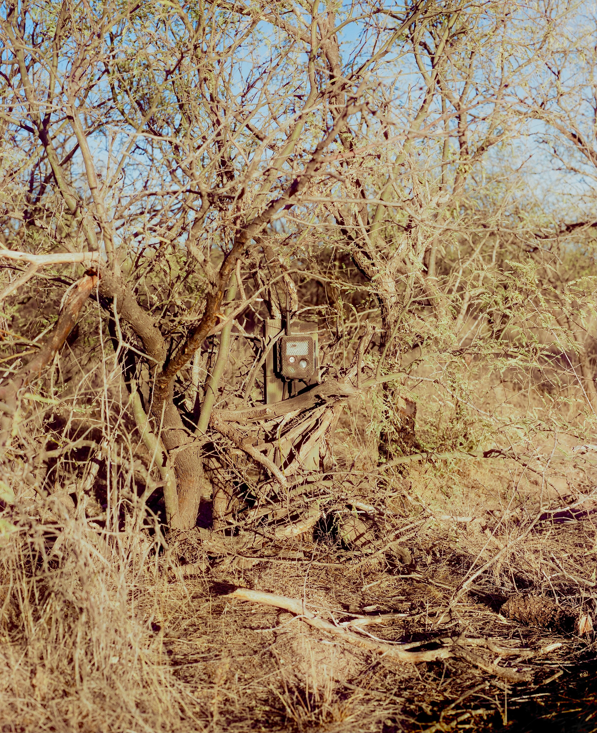
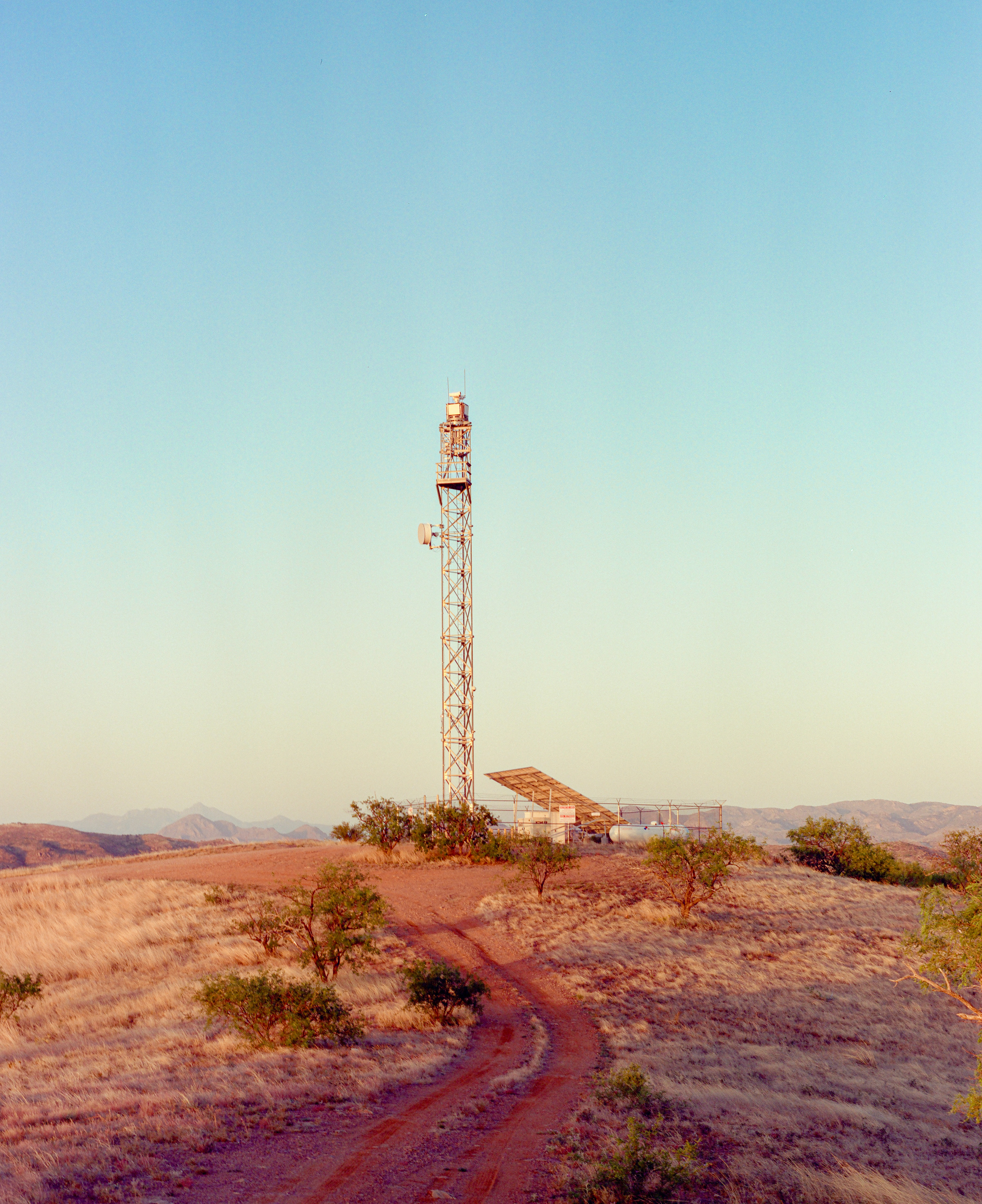
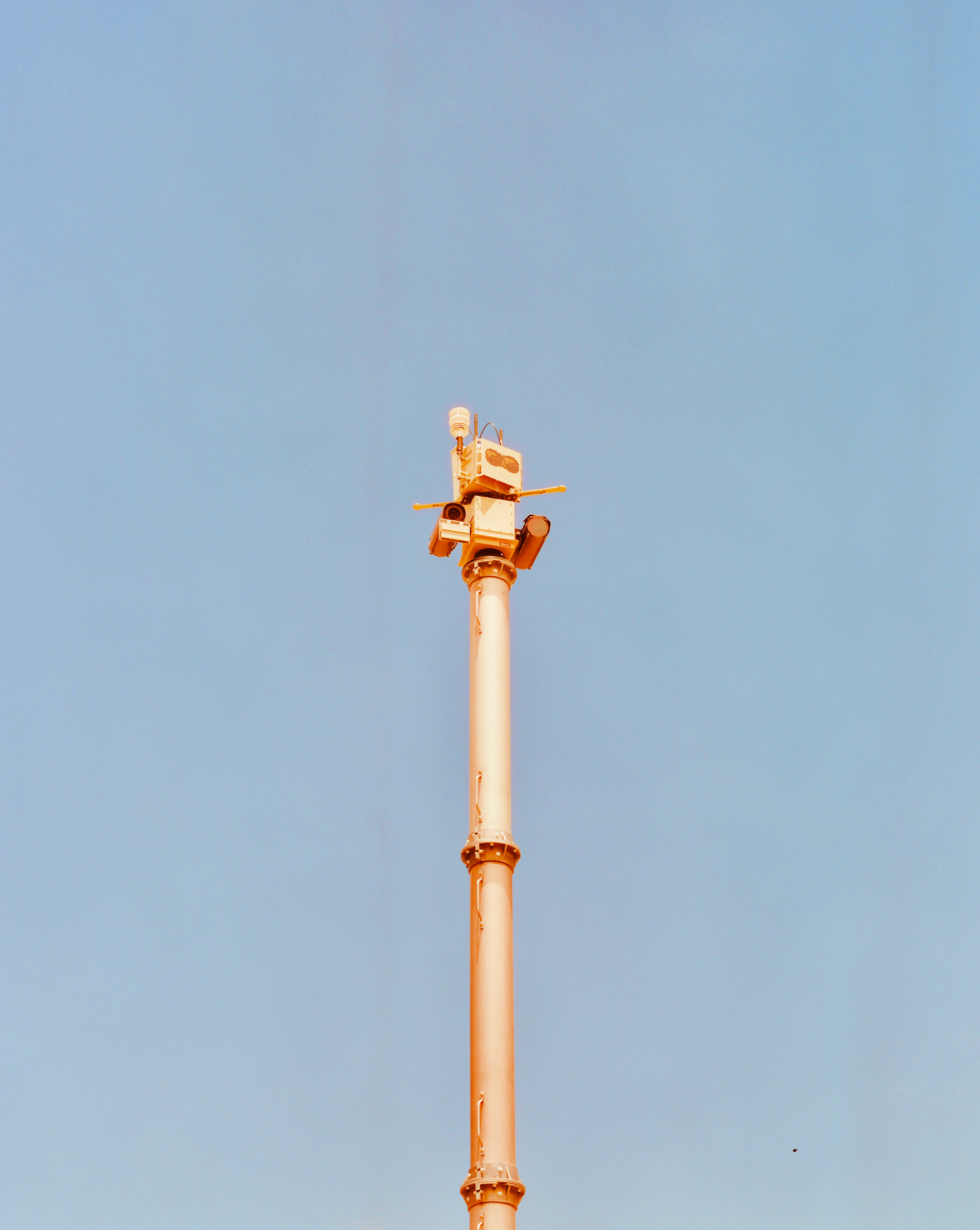
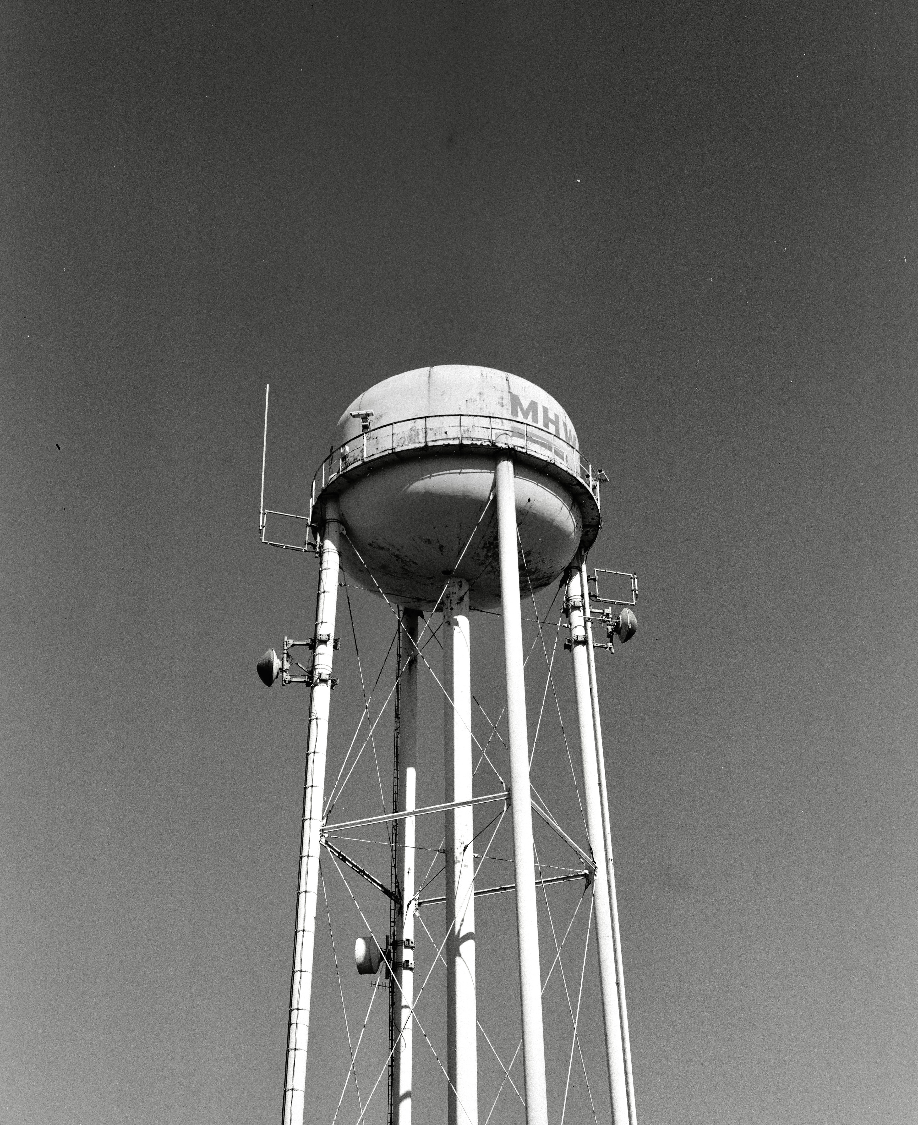
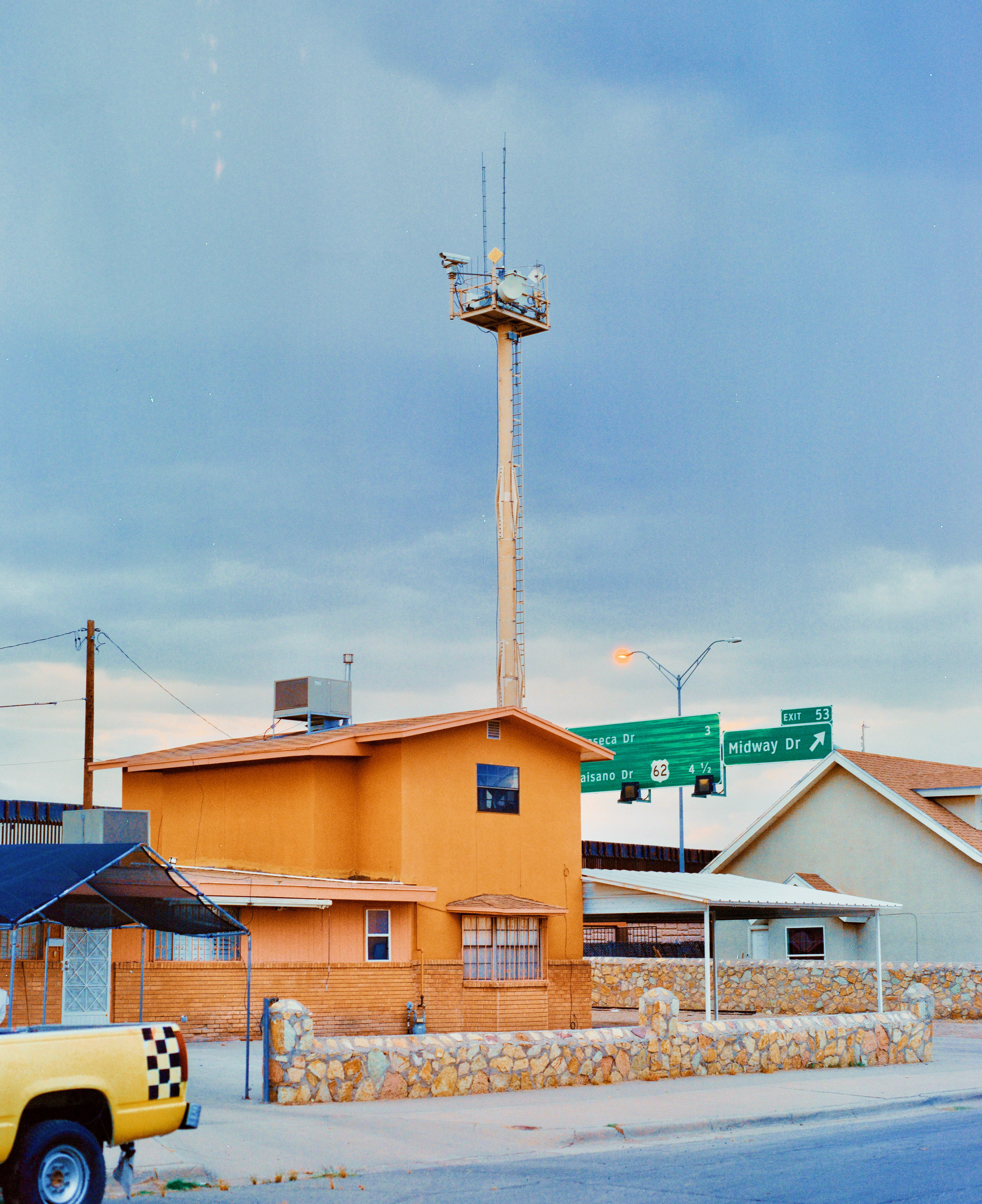
A "hidden" game camera set up by CBP
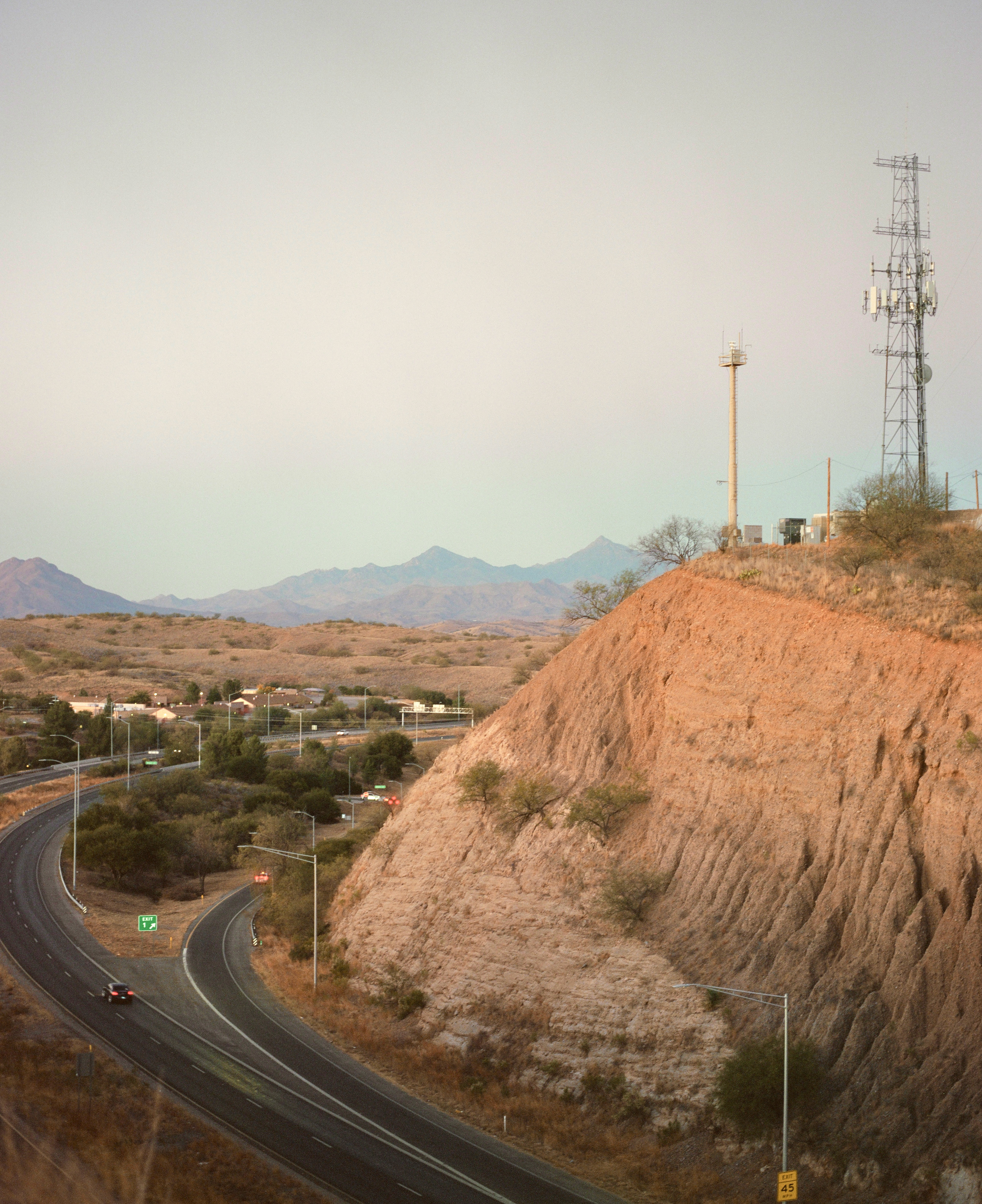
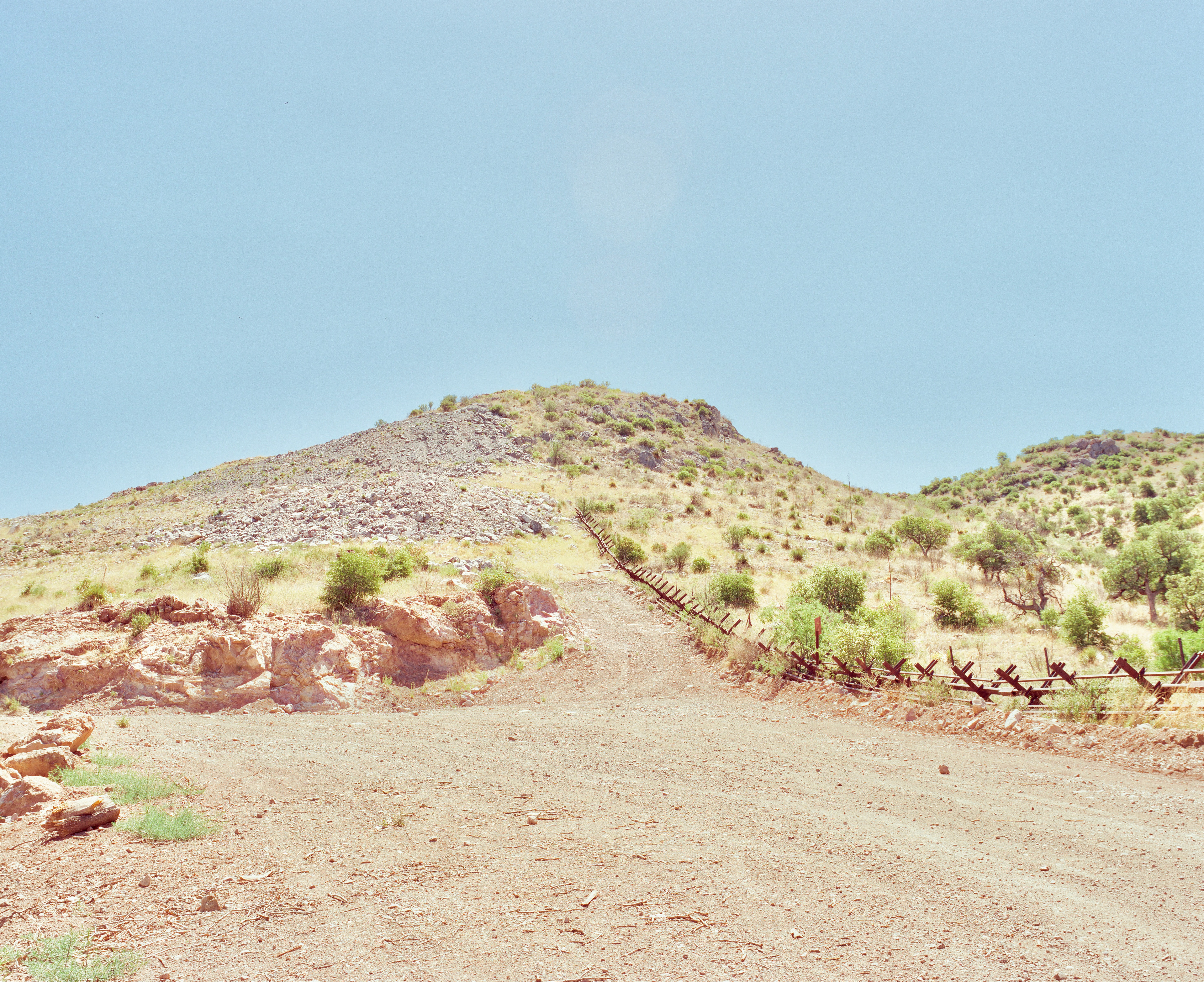
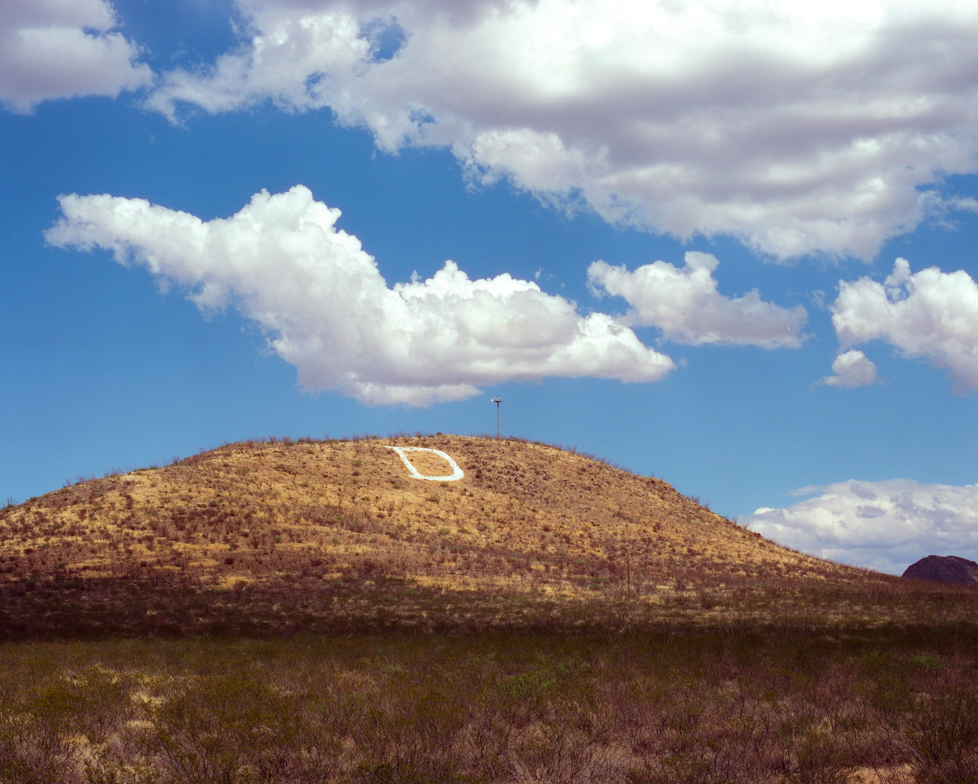
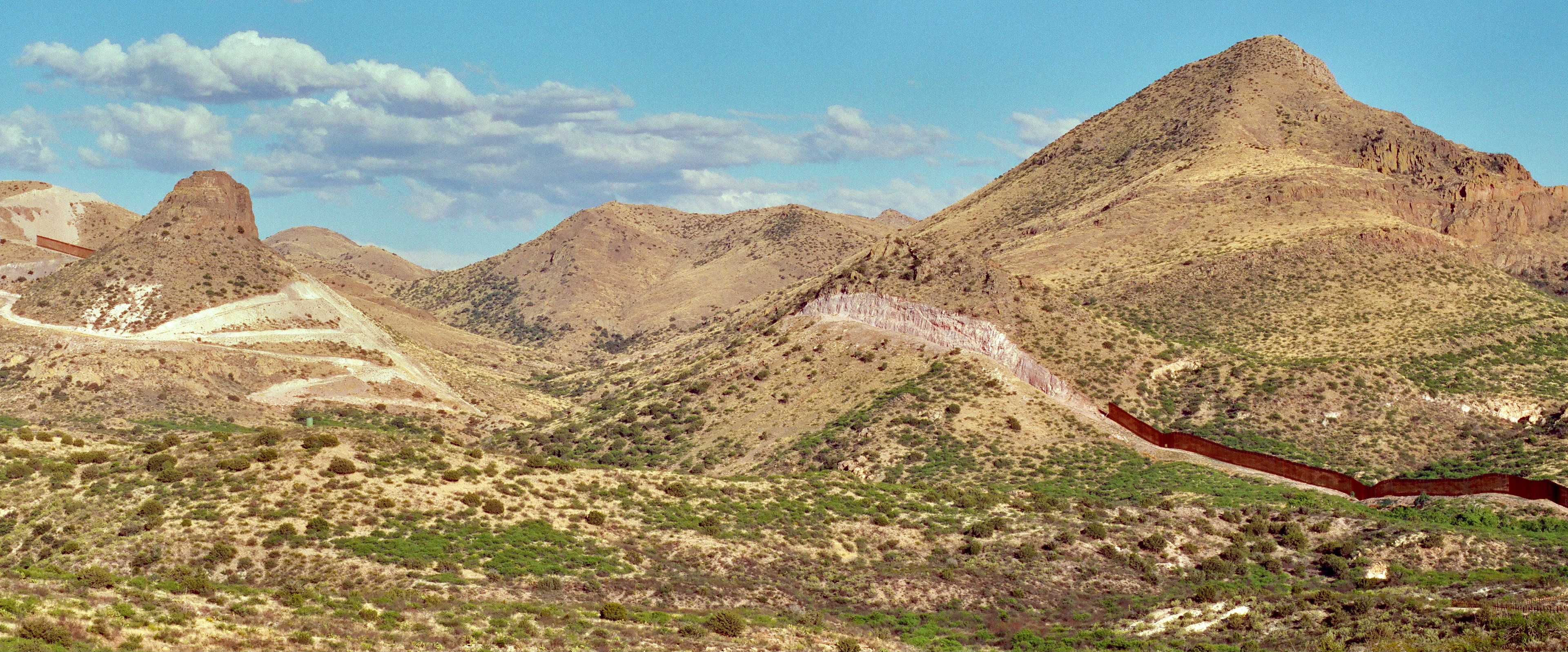
D Mountain in Douglas, Arizona.
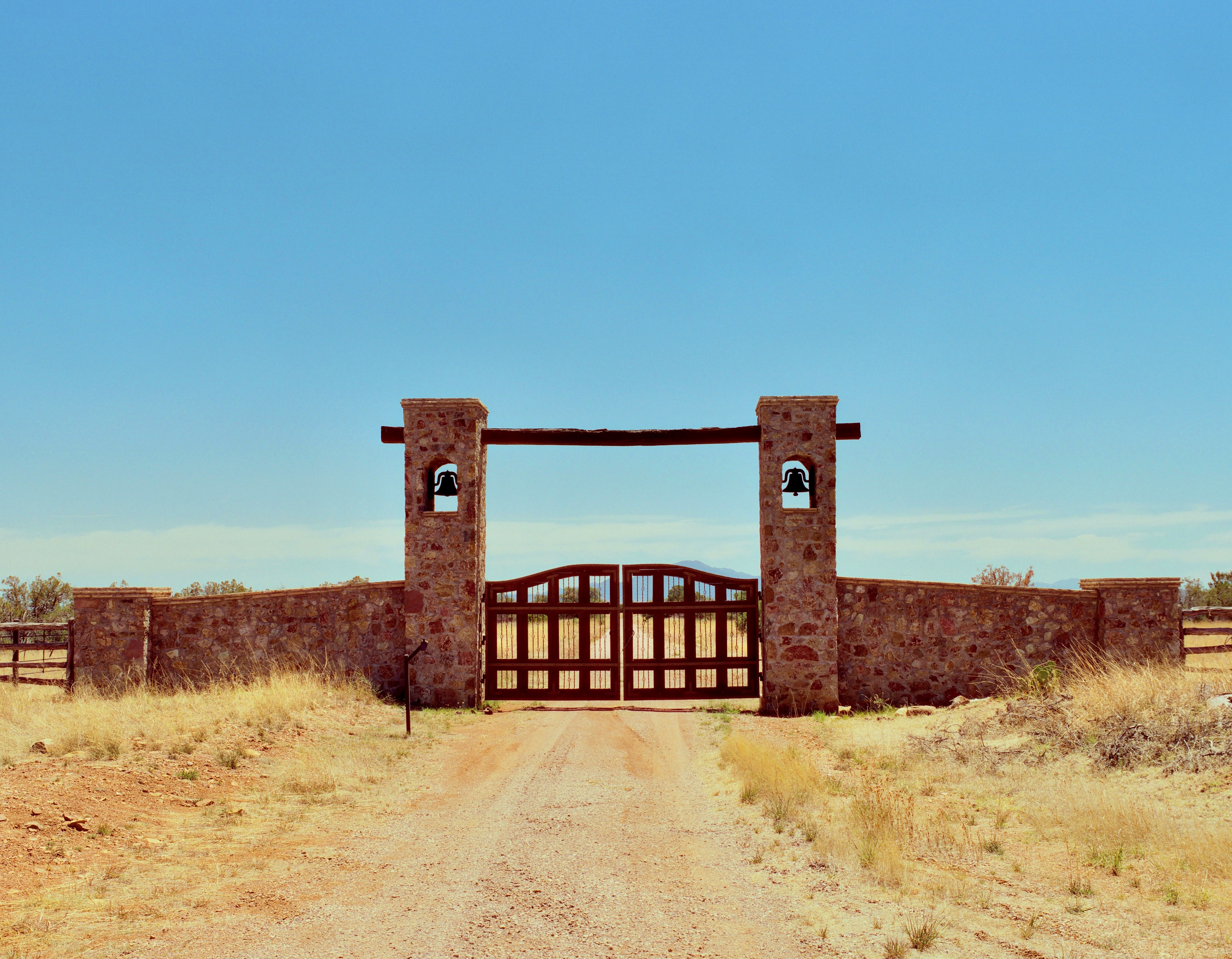
The entrance to Howard Buffet's first Arizona border ranch
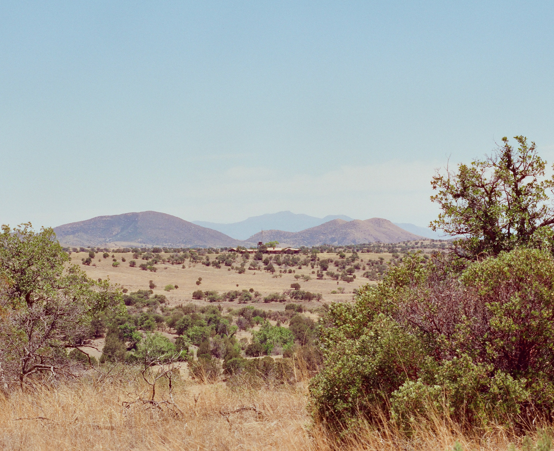
Howard Buffet's first Arizona border ranch
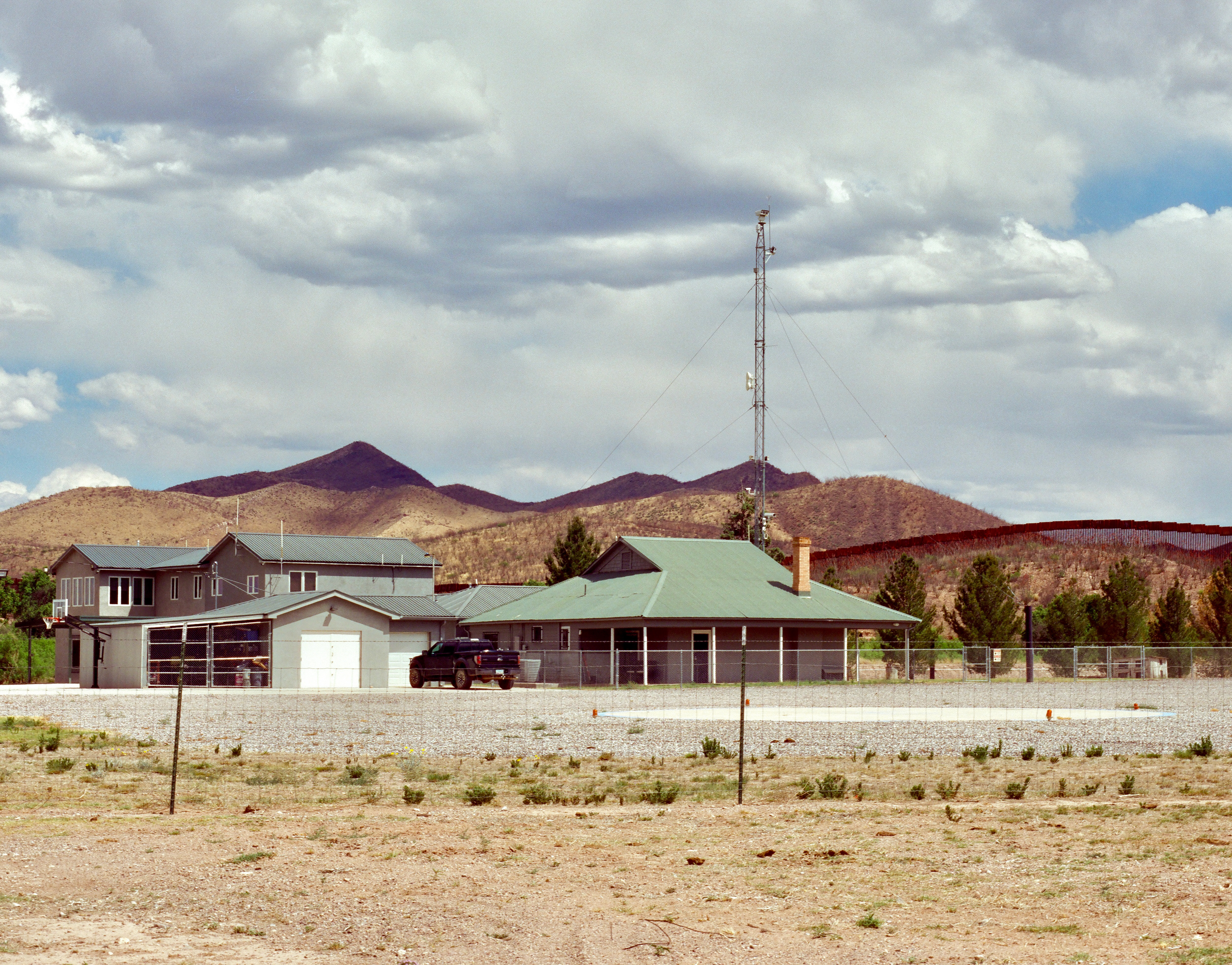
Howard Buffet's second Arizona border ranch
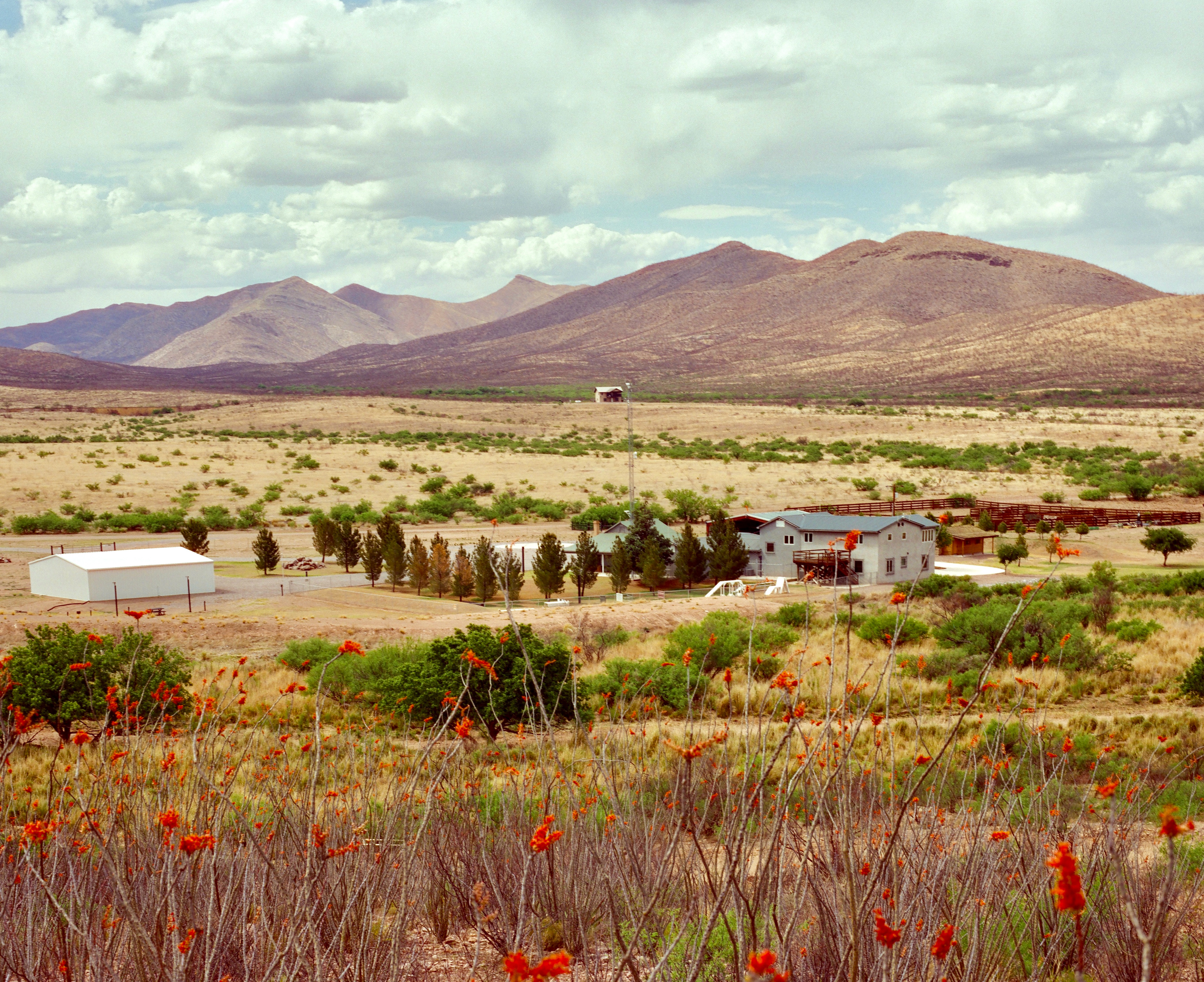
Howard Buffet's second Arizona border ranch